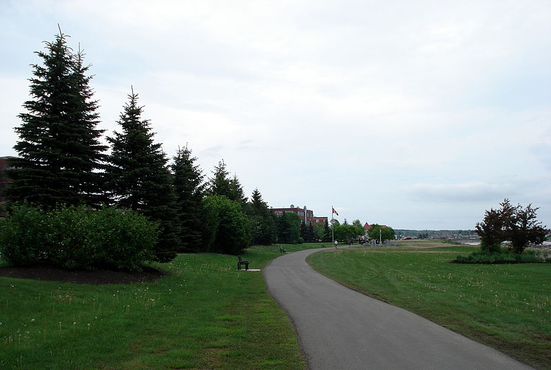
Riverfront Trail, Moncton

Gallery (2)
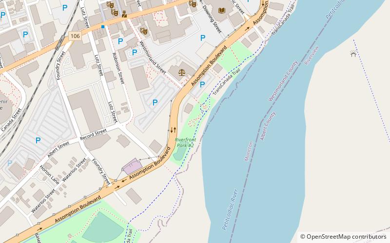
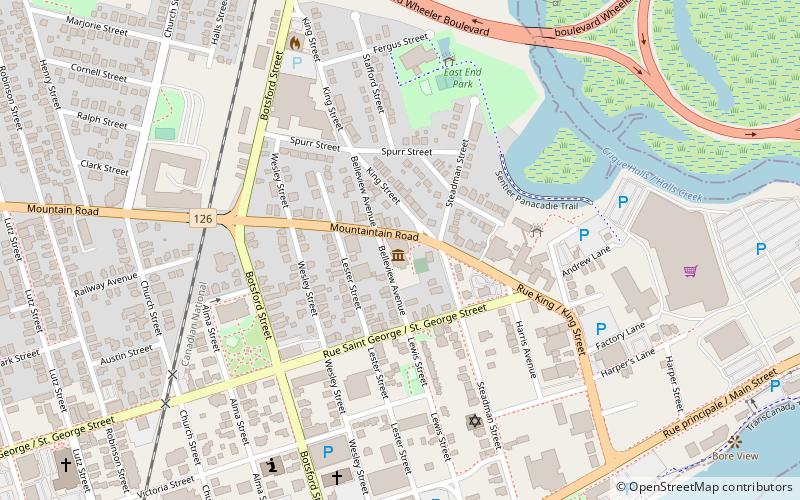
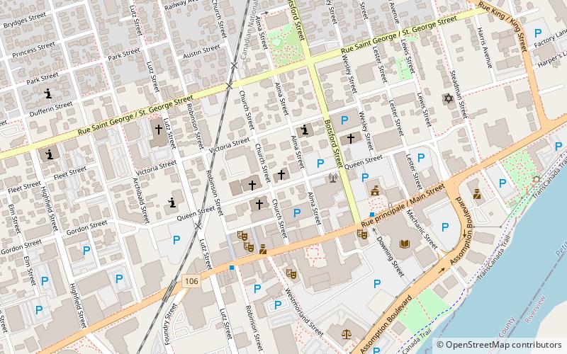
Map
Map
Gallery
Facts and practical information
The Riverfront Trail is a multi-use trail in Greater Moncton, along the shores of the Petitcodiac River. The trail comprises the Moncton section of the Trans Canada Trail, passing through the city's Riverfront Park, and extends to the neighbouring communities of Riverview and Dieppe. Points of interest include Bore View Park, Settlers Green, a skateboard park, the Hal Betts Commemorative Sportsplex and the Treitz Haus. ()
Elevation: 26 ft a.s.l.Coordinates: 46°5'6"N, 64°46'32"W
Address
Downtown MonctonMoncton
ContactAdd
Social media
Add
Day trips


Frequently Asked Questions (FAQ)
Which popular attractions are close to Riverfront Trail?
Nearby attractions include Moncton Public Library, Moncton (7 min walk), Blue Cross Centre, Moncton (7 min walk), Capitol Theatre, Moncton (8 min walk), Moncton City Council, Moncton (9 min walk).