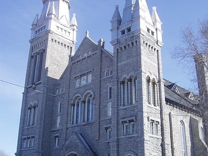
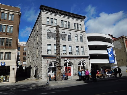
Saint Brigid's Centre for the Arts, Ottawa
Map
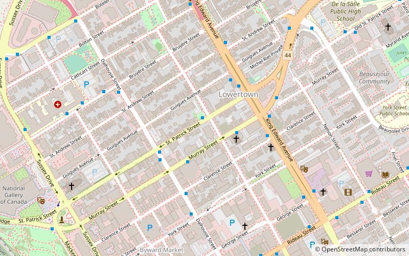
Map

Facts and practical information
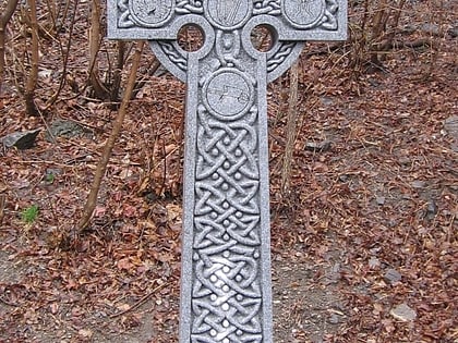
St Brigid's was a Roman Catholic church located in the Lower Town neighbourhood of Ottawa, Ontario, Canada. It was built to serve the English-speaking, Catholic population of the area. In 2007 the church was closed and sold, and is now home to Saint Brigid's Centre for the Arts, an Irish-Canadian heritage centre. ()
Coordinates: 45°25'53"N, 75°41'27"W
Day trips
Saint Brigid's Centre for the Arts – popular in the area (distance from the attraction)
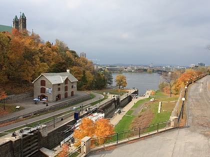
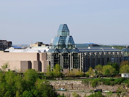
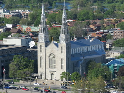
Nearby attractions include: Rideau Canal, National Gallery of Canada, Notre-Dame Cathedral Basilica, Major's Hill Park.
Frequently Asked Questions (FAQ)
Which popular attractions are close to Saint Brigid's Centre for the Arts?
Nearby attractions include Lower Town, Ottawa (3 min walk), Wheelhouse Maritime Museum, Ottawa (4 min walk), Champagne Bath, Ottawa (6 min walk), Ottawa French Seventh-day Adventist Church, Ottawa (7 min walk).
How to get to Saint Brigid's Centre for the Arts by public transport?
The nearest stations to Saint Brigid's Centre for the Arts:
Bus
Light rail
Bus
- St Patrick / Cumberland • Lines: 6 (1 min walk)
- Murray / Dalhousie • Lines: 6 (2 min walk)
Light rail
- Rideau O-Train West/Ouest • Lines: 1 (10 min walk)
- Parliament A • Lines: 1 (21 min walk)
