Saint Helen's Island, Montreal
Map
Gallery
Facts and practical information
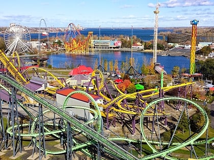
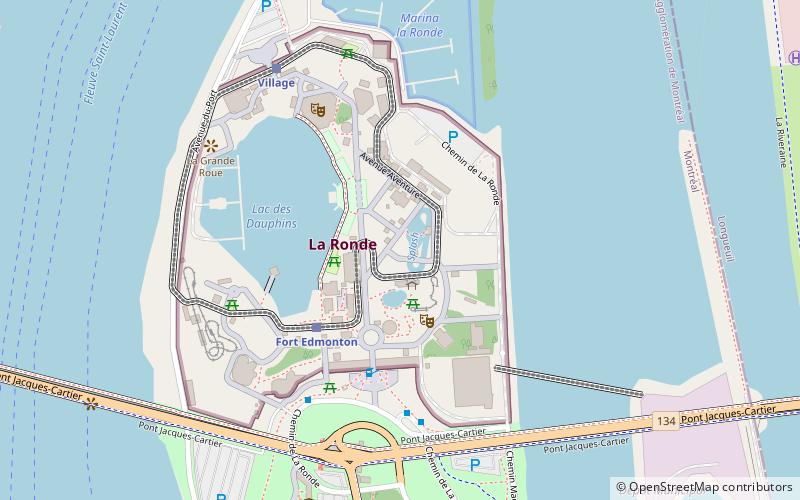
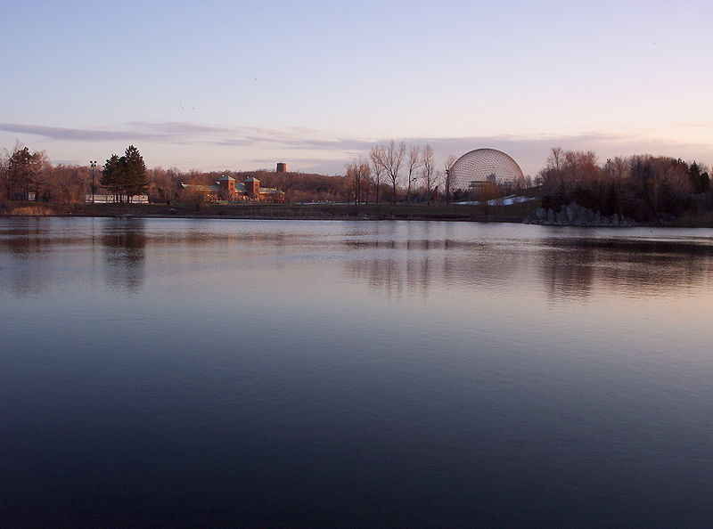
Saint Helen's Island is an island in the Saint Lawrence River, in the territory of the city of Montreal, Quebec, Canada. It is situated immediately southeast of the Island of Montreal, in the extreme southwest of Quebec. It forms part of the Hochelaga Archipelago. The Le Moyne Channel separates it from Notre Dame Island. Saint Helen's Island and Notre Dame Island together make up Jean-Drapeau Park. ()
Address
Île Sainte-HélèneMontreal
ContactAdd
Social media
Add
Day trips
Saint Helen's Island – popular in the area (distance from the attraction)
Nearby attractions include: La Ronde, Montreal Biosphère, Notre-Dame-de-Bon-Secours Chapel, Vampire.
Frequently Asked Questions (FAQ)
Which popular attractions are close to Saint Helen's Island?
Nearby attractions include Musée Stewart, Montreal (4 min walk), Montreal Biosphère, Montreal (8 min walk), Expo 67 pavilions, Montreal (10 min walk), Vampire, Montreal (10 min walk).
How to get to Saint Helen's Island by public transport?
The nearest stations to Saint Helen's Island:
Train
Metro
Bus
Train
- Fort Edmonton (9 min walk)
- Village (16 min walk)
Metro
- Jean-Drapeau • Lines: 4 (10 min walk)
- Longueuil–Université-de-Sherbrooke • Lines: 4 (21 min walk)
Bus
- Station Jean-Drapeau • Lines: 777-E, 777-O (11 min walk)
- ch. Tiffin / rue St-Charles ouest • Lines: 200 N (20 min walk)




 Metro
Metro