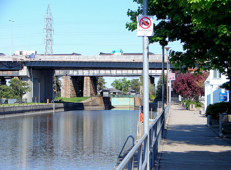
Sainte-Anne-de-Bellevue Canal, Sainte-Anne-de-Bellevue

Gallery (2)
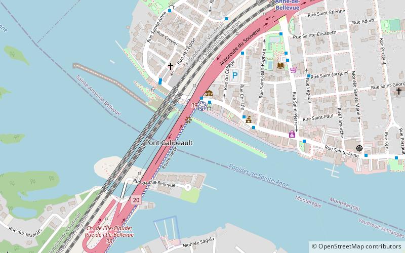
Map
Map
Gallery
Facts and practical information
The Sainte-Anne-de-Bellevue Canal is a canal and set of locks linking Lake Saint-Louis and Lake of Two Mountains at Sainte-Anne-de-Bellevue, the very westernmost point of Montreal Island, Quebec, Canada. It is a National Historic Site of Canada. ()
Built: 1843 (183 years ago)Elevation: 75 ft a.s.l.Coordinates: 45°24'13"N, 73°57'16"W
Address
170 Sainte-Anne StreetSainte-Anne-de-Bellevue H9X 1N1
Contact
+1 514-457-5546
Social media
Add
Day trips


Frequently Asked Questions (FAQ)
Which popular attractions are close to Sainte-Anne-de-Bellevue Canal?
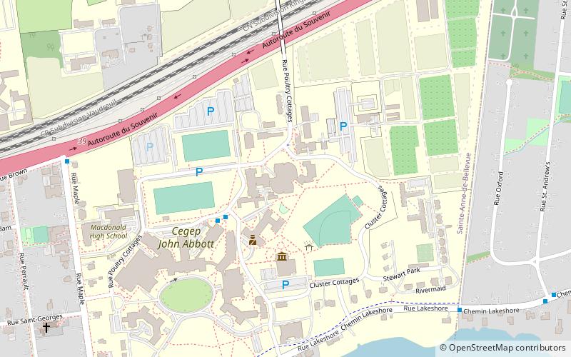
Nearby attractions include Pont Galipeau, Sainte-Anne-de-Bellevue (3 min walk), Ecomuseum Zoo, Sainte-Anne-de-Bellevue (7 min walk), Macdonald Campus, Sainte-Anne-de-Bellevue (21 min walk), Montreal Aviation Museum, Sainte-Anne-de-Bellevue (23 min walk).