Sault Ste. Marie Walk of Fame, Sault Sainte Marie
Map
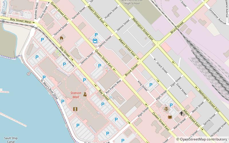
Map

Facts and practical information
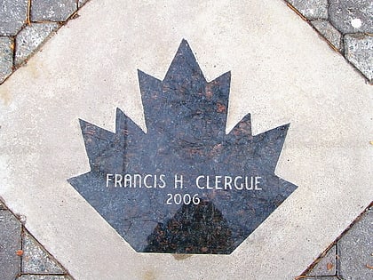
The Sault Ste. Marie Walk of Fame is a series of markers located throughout downtown Sault Ste. Marie, Ontario, Canada. The Walk of Fame is a joint project between the city of Sault Ste. Marie and its Downtown Association, and honours those from the city or the Algoma District who have made outstanding contributions to the community or have made significant achievements in their chosen field of work. Inductees are added on an annual basis. ()
Elevation: 597 ft a.s.l.Coordinates: 46°30'50"N, 84°20'11"W
Address
Downtown Sault Ste. Marie-OntarioSault Sainte Marie
ContactAdd
Social media
Add
Day trips
Sault Ste. Marie Walk of Fame – popular in the area (distance from the attraction)
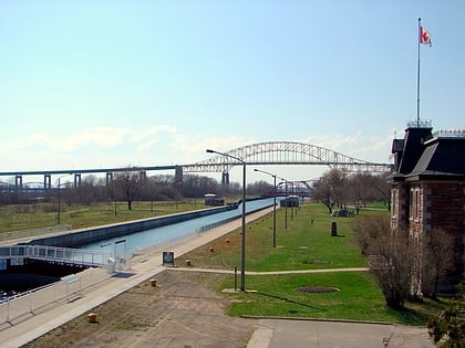
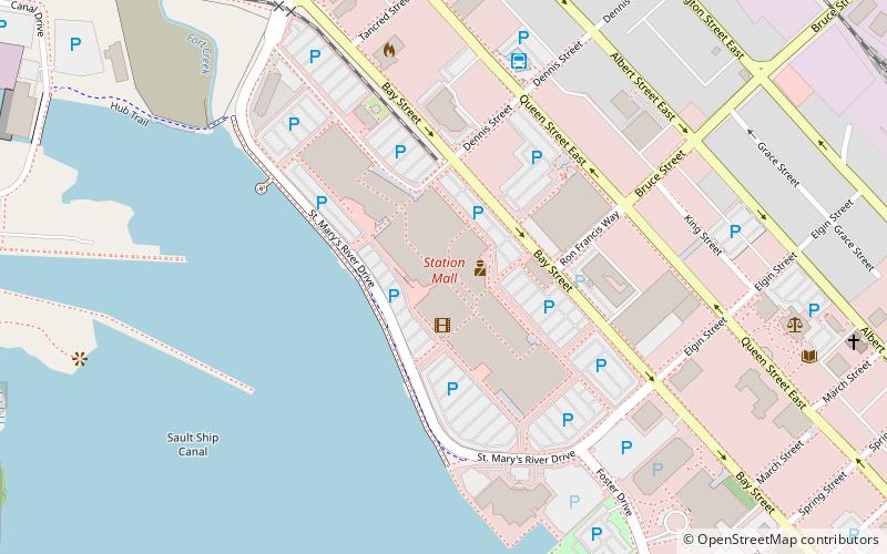
Nearby attractions include: Art Gallery of Algoma, Sault Ste. Marie Canal, Essar Centre, Station Mall.
Frequently Asked Questions (FAQ)
Which popular attractions are close to Sault Ste. Marie Walk of Fame?
Nearby attractions include Essar Centre, Sault Sainte Marie (1 min walk), Roberta Bondar Park Tent Pavilion, Sault Sainte Marie (9 min walk), OLG Casino Sault Ste. Marie, Sault Sainte Marie (11 min walk), Art Gallery of Algoma, Sault Sainte Marie (14 min walk).
How to get to Sault Ste. Marie Walk of Fame by public transport?
The nearest stations to Sault Ste. Marie Walk of Fame:
Bus
Bus
- Dennis Street Terminal (4 min walk)
