Stuart Island
Map

Map

Facts and practical information
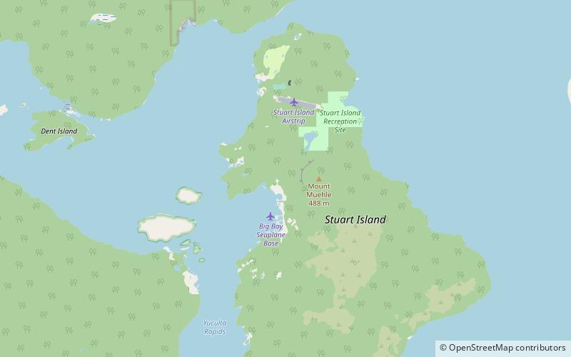
Stuart Island is one of the Discovery Islands of British Columbia, which lie between northern Vancouver Island and the British Columbia Coast. It is privately owned and has no ferry access. It is situated at the mouth of Bute Inlet to the east of the larger Sonora Island within Electoral Area C of the Strathcona Regional District. The island, and Bute Inlet, were named for John Stuart, 3rd Earl of Bute, Prime Minister of Great Britain from 1762 to 1763. ()
Archipelago: Discovery IslandsCoordinates: 50°23'52"N, 125°8'2"W
Location
British Columbia
ContactAdd
Social media
Add
Day trips
Stuart Island – popular in the area (distance from the attraction)
Nearby attractions include: Sonora Island.

