Wendy Poole Park, Vancouver
Map
Map

Facts and practical information
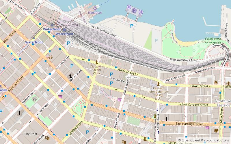
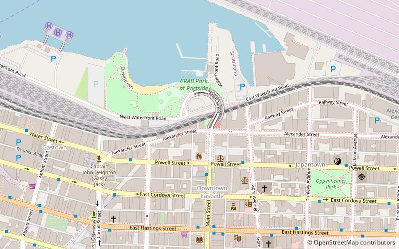
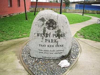
Wendy Poole Park is a small triangular plot of parkland near the waterfront in the Downtown Eastside in Vancouver, British Columbia. The land is at Alexander Street and the Main Street Overpass, and it was named by the Vancouver Board of Parks and Recreation for a young aboriginal woman who was murdered nearby in 1989. The park contains a memorial boulder inscribed with information about Poole. ()
Elevation: 30 ft a.s.l.Coordinates: 49°17'3"N, 123°5'60"W
Address
Main StDowntown VancouverVancouver
ContactAdd
Social media
Add
Day trips
Wendy Poole Park – popular in the area (distance from the attraction)
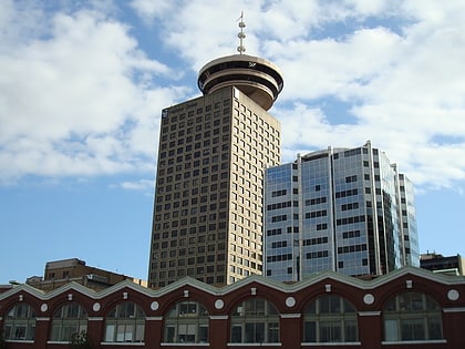
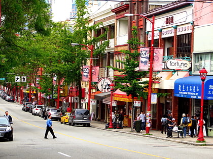
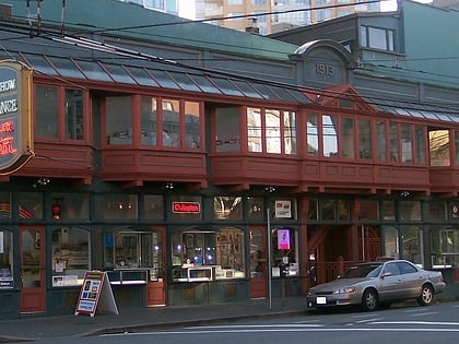
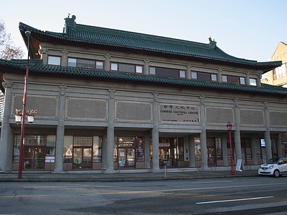
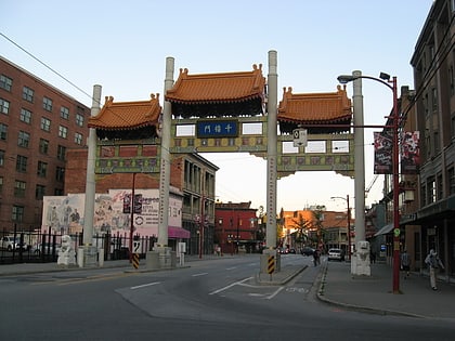
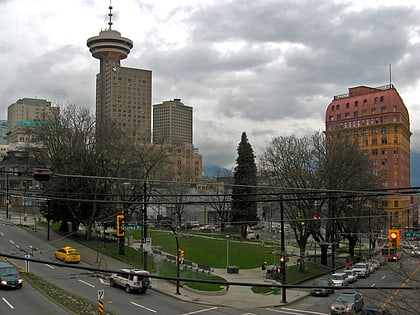
Nearby attractions include: Harbour Centre, Fortune Sound Club, Dr. Sun Yat-Sen Classical Chinese Garden, Woodward's Building.
Frequently Asked Questions (FAQ)
Which popular attractions are close to Wendy Poole Park?
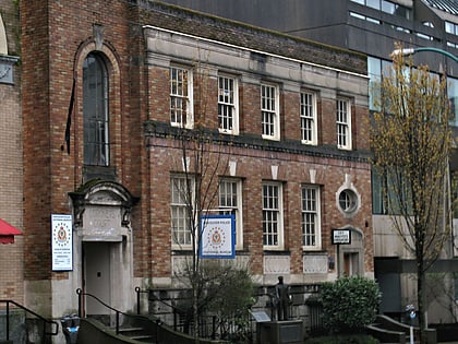
Nearby attractions include The Warehouse Studio, Vancouver (4 min walk), Downtown Eastside, Vancouver (4 min walk), Vancouver Police Museum, Vancouver (5 min walk), Firehall Arts Centre, Vancouver (5 min walk).
How to get to Wendy Poole Park by public transport?
The nearest stations to Wendy Poole Park:
Bus
Trolleybus
Ferry
Train
Metro
Bus
- Main St at Powell • Lines: 210, 211 (3 min walk)
- East Cordova Street FS Main Street • Lines: 210, 211 (4 min walk)
Trolleybus
- Main St at Powell • Lines: 4, 7 (3 min walk)
- WB Powell Street at Gore Avenue • Lines: 4, 7 (3 min walk)
Ferry
- Waterfront • Lines: SeaBus (12 min walk)
- Plaza of Nations Dock • Lines: Aquabus, False Creek Ferries Route 3 (22 min walk)
Train
- Waterfront (14 min walk)
- Vancouver Pacific Central (19 min walk)
Metro
- Stadium–Chinatown • Lines: Expo Line (14 min walk)
- Waterfront • Lines: Canada Line, Expo Line (15 min walk)
 SkyTrain