U of S Lands South Management Area, Saskatoon

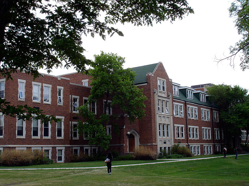
Gallery (2)
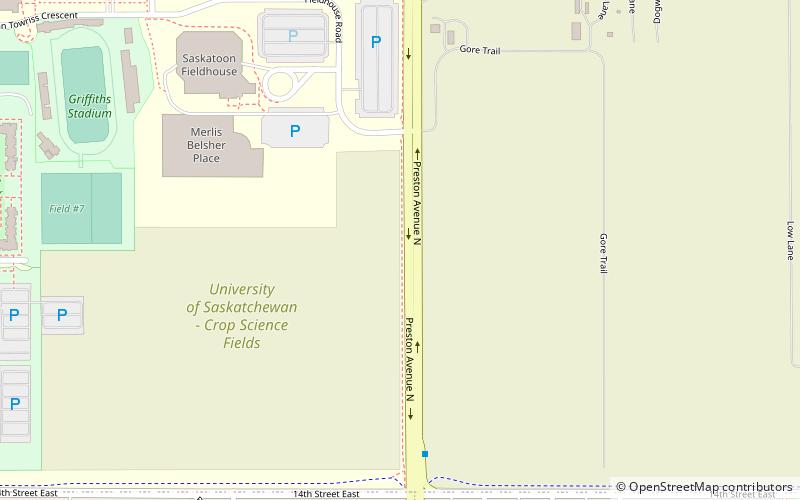
Map
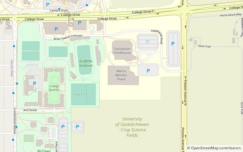
Map
Gallery
Facts and practical information
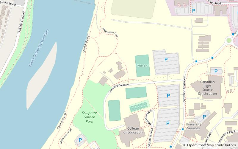
U of S Lands South Management Area is an area of and located in east-central Saskatoon, Saskatchewan, Canada. It is a categorized as a management area, as it lacks the residential, industrial or future development characteristics present in most neighbourhoods. The area is home to 1,103 residents living in residences belonging to the University of Saskatchewan. The neighbourhood is considered a lower-income area, with an average family income of $36,760, an average dwelling value of $221,222 and a home ownership rate of 0.2%, though this is, of course, due to residents being primarily students renting accommodation from the university. ()
Area: 0.64 mi²Coordinates: 52°7'30"N, 106°37'23"W
Address
University HeightsSaskatoon
ContactAdd
Social media
Add
Getting there by public transportation
Public transportation stops near this location
- Bus
 Bus
Bus
- Calculate routePreston Avenue & 14th Street 5 min walk
- Calculate routeCampus Drive 11 min walk
- Calculate routeCampus Drive & N.R.C. Place 12 min walk
Day trips


Frequently Asked Questions (FAQ)
Which popular attractions are close to U of S Lands South Management Area?
Nearby attractions include Grosvenor Park, Saskatoon (15 min walk), University of Saskatchewan, Saskatoon (15 min walk), Peter MacKinnon Building, Saskatoon (15 min walk), Museum of Antiquities, Saskatoon (15 min walk).
How to get to U of S Lands South Management Area by public transport?
The nearest stations to U of S Lands South Management Area:
Bus
Bus
- Preston Avenue & 14th Street • Lines: 6 (5 min walk)
- Campus Drive • Lines: 13, 6 (11 min walk)