Carriçal, São Nicolau

Map
Facts and practical information
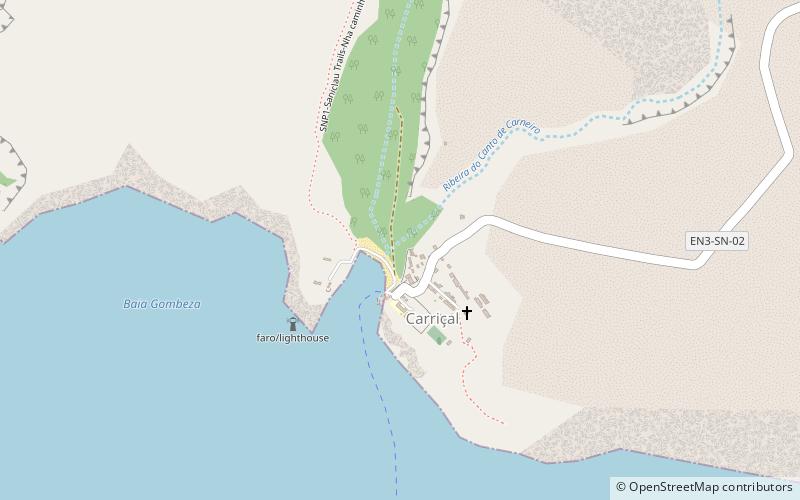
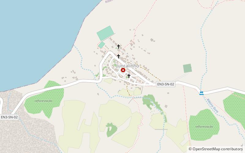
Carriçal is a settlement in the eastern part of the island of São Nicolau, Cape Verde. It is situated on the south coast, 8 km southeast of Juncalinho and 24 km east of Ribeira Brava. It is the easternmost settlement on the island. Some 8 km east is the island's easternmost point, Ponta Leste. The place was mentioned as Currissal in the 1747 map by Jacques-Nicolas Bellin. ()
Address
São Nicolau
ContactAdd
Social media
Add
Day trips
Carriçal – popular in the area (distance from the attraction)
Nearby attractions include: Pico de Alberto, Juncalinho.

