Caixa, São Vicente
#5 among attractions in São Vicente
Facts and practical information
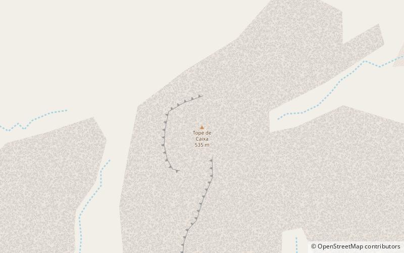
Caixa is a mountain in the southern part of the island of São Vicente.It is situated 7 km south of the city centre of Mindelo. Its elevation is 535 metres. ()
São Vicente Cape Verde
Caixa – popular in the area (distance from the attraction)
Nearby attractions include: Praça Amílcar Cabral, Pro-Cathedral of Our Lady of the Light, Monte Cara, Centro Nacional de Artesanato.
 Square
Praça Amílcar Cabral, Mindelo
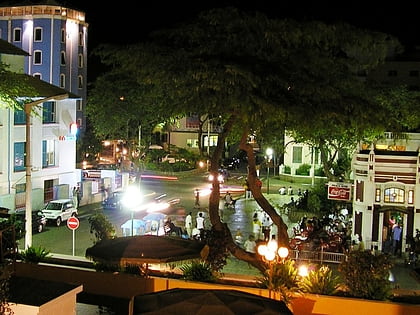
116 min walk • Praça Amílcar Cabral, also popularly known as Praça Nova, is an important square of the city of Mindelo, São Vicente, Cape Verde. It is located in the northern part of the city center of Mindelo. The square is named after Amílcar Cabral, a leader of the independence movement of Cape Verde and Guinea-Bissau.
 Church
Pro-Cathedral of Our Lady of the Light, Mindelo
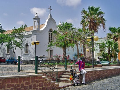
108 min walk • The Pro-Cathedral of Our Lady of the Light is a Roman Catholic church in the city of Mindelo, on the island of São Vicente, Cape Verde. It is located on Rua da Luz, in the city centre. Built in 1862, it is one of the oldest buildings of Mindelo.
 Nature, Natural attraction, Mountain
Monte Cara, São Vicente
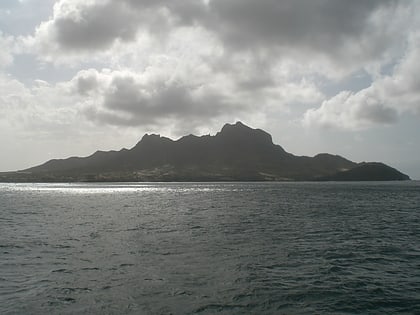
112 min walk • Monte Cara is a mountain in western part of the island of São Vicente, Cape Verde. Its elevation is 490 m. It resembles a human face looking at the sky, hence its name, which means "face mountain".
 Museum
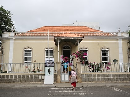
Centro Nacional de Artesanato, Mindelo
117 min walk • Centro Nacional de Artesanato e Design is a museum in the city of Mindelo on the island of São Vicente in Cape Verde. It situated at the north end of Praça Nova in the city centre of Mindelo. It exhibits works of popular culture, design and crafts.
 Street
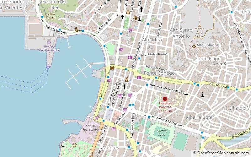
Avenida Marginal, São Vicente
111 min walk • Avenida Marginal is an important street in Mindelo, São Vicente island, Cape Verde. It runs along the coast of the Porto Grande Bay, connecting the city centre with the northwestern outskirts. Its southern end is the intersection with Rua Libertadores de África and Rua da Praia, that continues south along the coast.
 Colonial architecture
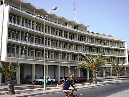
Paços do Concelho, Mindelo
109 min walk • The Paços do Concelho is a public building in the city centre of Mindelo, São Vicente, Cape Verde. Built between 1860 and 1873, it houses the administration of the municipality of São Vicente.
 Nature, Natural attraction, Mountain
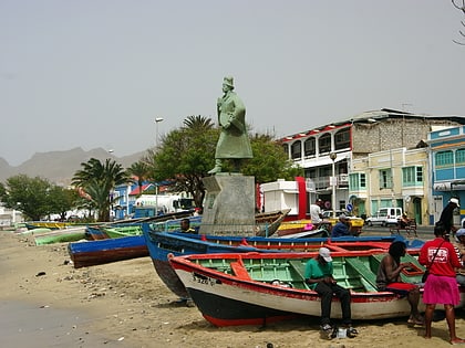
Monte São João, Mindelo
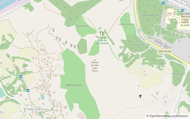
70 min walk • Monte São João is a low mountain in the central part of the island of São Vicente, Cape Verde. Its elevation is 154 m. It is situated 3 km southwest of the city centre of Mindelo.
 Village, Nature, Natural attraction
Madeiral
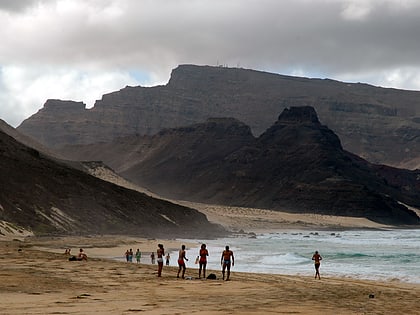
129 min walk • Madeiral or Monte Madeiral is a mountain in the southeastern part of the island of São Vicente, Cape Verde. Its elevation is 680 meters. The village Madeiral, part of the settlement Ribeira de Calhau, lies at its northern foot.
 Arenas and stadiums, Sport venue, Sport
Estádio Municipal Adérito Sena, Mindelo
104 min walk • Estádio Municipal Adérito Sena is a multi-use stadium in Mindelo, Cape Verde. It is currently used mostly for football matches and is the home stadium of FC Derby as well as CS Mindelense, Académica, GD Amarantes and Batuque FC and the lesser club of Corinthians São Vicente.
 Beach
BeachFlamengos, São Vicente
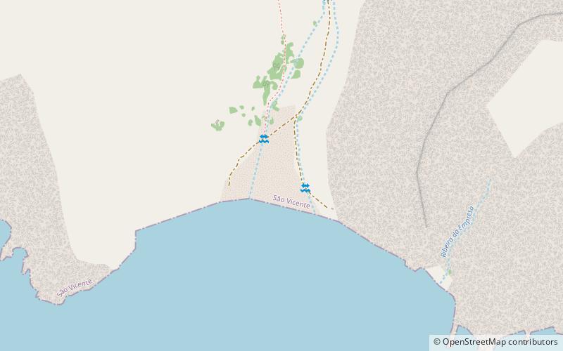
88 min walk • Praia dos Flamengos is a beach in the southwest of the island of São Vicente in Cape Verde. It is 2.5 km southeast of the village São Pedro and 11 km southwest of Mindelo. It is accessible from the northeast by a dirt road.