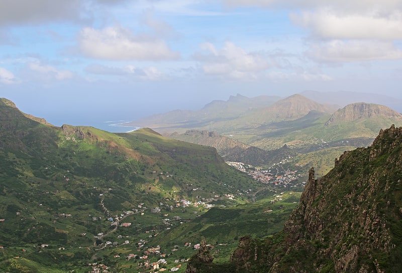
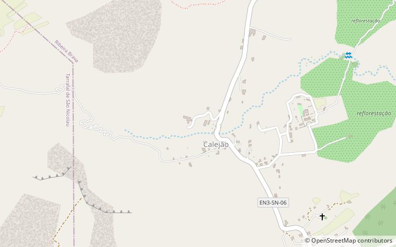
Queimadas, São Nicolau
#16 among attractions in São Nicolau

Facts and practical information
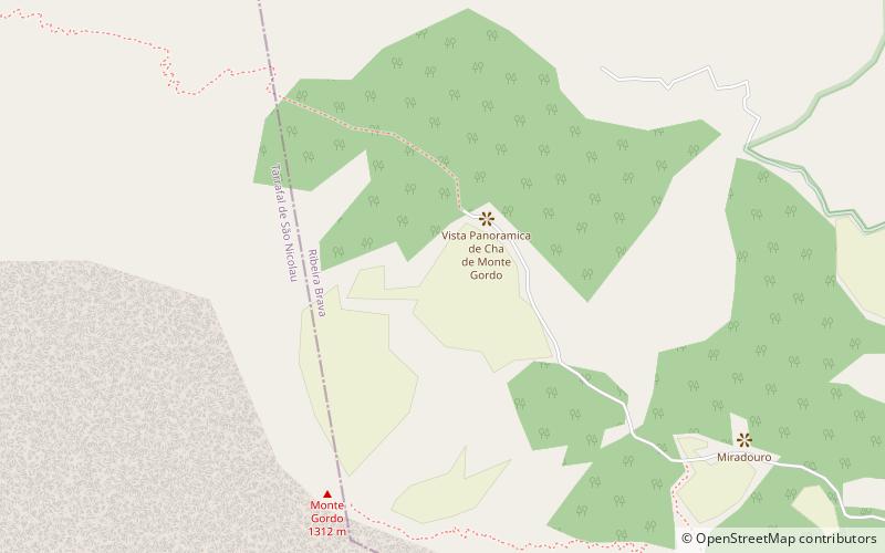
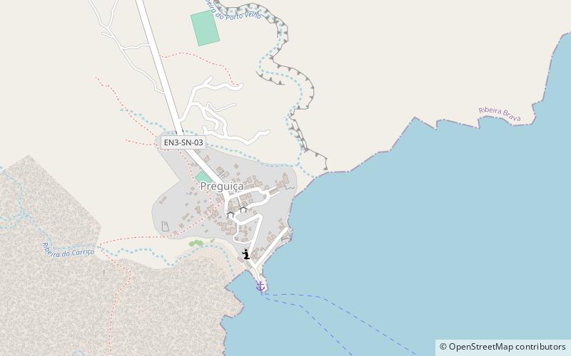
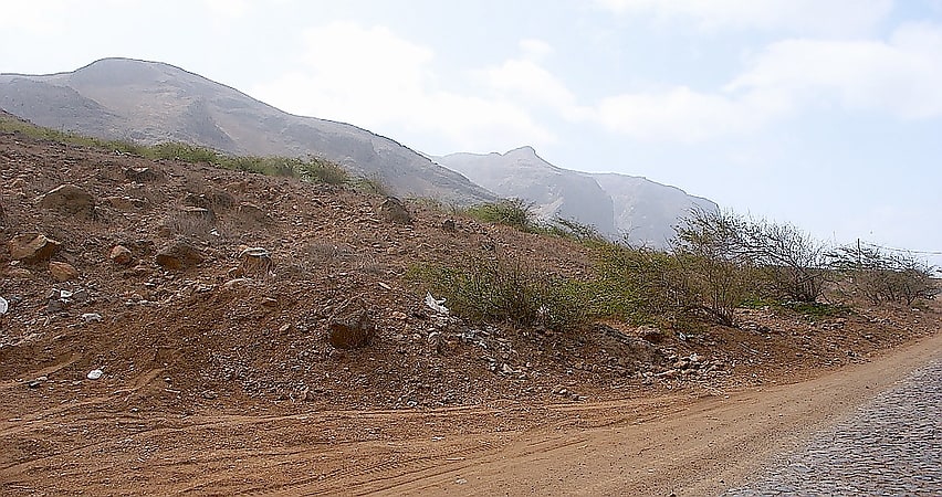
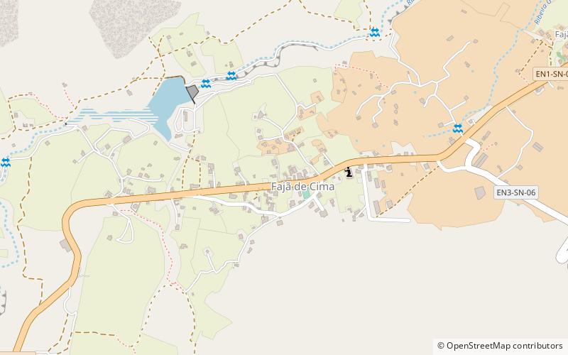
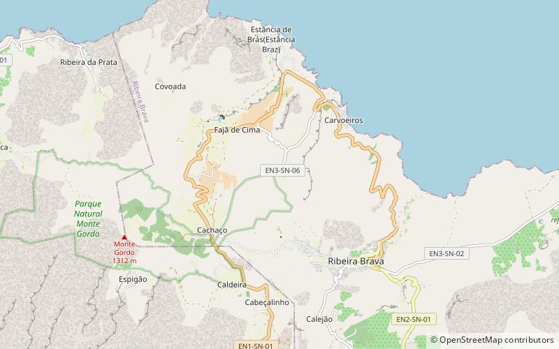
Queimadas is a settlement in the central part of the island of São Nicolau, Cape Verde. It is situated 3 km northwest of Ribeira Brava. It is part of the municipality of Ribeira Brava and the parish of Nossa Senhora da Lapa. ()
São Nicolau Cape Verde
Queimadas – popular in the area (distance from the attraction)
Nearby attractions include: Monte Gordo, Forte do Príncipe Real, Monte Bissau, Preguiça.
2.5 miWMountainMonte Gordo, Cova-Ribeira da Torre-Paul Natural Park
64 min walk • Monte Gordo is a mountain on the island of São Nicolau, Cape Verde. At 1,312 m elevation, it is the island's highest point. It is situated in the western part of the island, 6 km west of the island capital Ribeira Brava.
5.6 miSEColonial architectureForte do Príncipe Real, São Nicolau
142 min walk • Forte do Príncipe Real is a ruined fort in the village of Preguiça in the island of São Nicolau, Cape Verde. It was built in 1820 to protect the roadstead and village of Preguiça. It sits at about 50 m elevation, at the waterfront.
5.2 miENature, Natural attraction, MountainMonte Bissau, São Nicolau
132 min walk • Monte Bissau is a mountain in the central part of the island of São Nicolau in Cape Verde. It is situated 3 km southwest of Belém and 6 km east of the island capital Ribeira Brava. Its elevation is 615 m.
5.6 miSEVillage, HarborPreguiça, São Nicolau
144 min walk • Preguiça is a settlement in the central part of the island of São Nicolau, Cape Verde. It is situated on the south coast, 6 km south of Ribeira Brava. It served as the port of Ribeira Brava, after the older Porto de Lapa, 6 km to the northeast, had been abandoned in 1653 due to pirate attacks.
2.4 miNWNature, Natural attraction, MountainMonte Gordo, São Nicolau
61 min walk • Monte Gordo is a mountain on the island of São Nicolau, Cape Verde. At 1,312 m elevation, it is the island's highest point. It is situated in the western part of the island, 6 km west of the island capital Ribeira Brava.
4.6 miWTown, BeachPraia Branca, São Nicolau
117 min walk • Praia Branca is a town in the northwestern part of the island of São Nicolau, Cape Verde. It is part of the municipality of Tarrafal de São Nicolau. Its population at the 2010 census was 521. It is situated 2 kilometres from the coast, 10 kilometres northwest of Ribeira Brava.
5.6 miSELighthousePreguiça Lighthouse, São Nicolau
142 min walk • Farol da Preguiça is a lighthouse located near the shore of Baía de São Jorge in Preguiça on the island of São Nicolau in northern Cape Verde. It is a masonry hut, coloured white. It sits at about 18 meters above sea level in the village, it is seven meters tall and its focal height is at 25 meters above sea level.
1.3 miSCityTalho, São Nicolau
34 min walk • Talho is a settlement in the central part of the island of São Nicolau, Cape Verde. It is located in the valley of Ribeira Brava, 1 km west of the city Ribeira Brava. In 2010 its population was 308. It is part of the municipality of Ribeira Brava and the parish of Nossa Senhora do Rosário.
2.4 miSVillageCaleijão, São Nicolau
61 min walk • Caleijão is a settlement in the central part of the island of São Nicolau, Cape Verde. It is situated 2 km southwest of Ribeira Brava. Writer Baltasar Lopes da Silva was born in the village. Part of his novel Chiquinho is set in Caleijão.
1.1 miNWTownFajã de Baixo, São Nicolau
27 min walk • Fajã de Baixo is a town in the northern part of the island of São Nicolau, Cape Verde. It is situated 2 km south of Estância de Brás and 5 km northwest of Ribeira Brava.
1.7 miSEArenas and stadiums, Sport venue, SportEstádio João de Deus Lopes da Silva, São Nicolau
44 min walk • Estádio João de Deus Lopes da Silva is a multi-use stadium in São Nicolau, Cape Verde. It is currently used mostly for football matches and is the home stadium of SC Atlético and Desportivo Ribeira Brava.