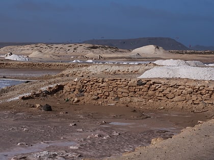
Praia da Ponta Preta, Sal

Map
Facts and practical information
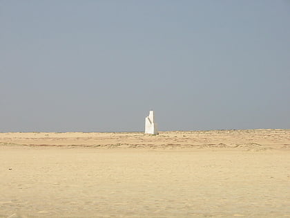
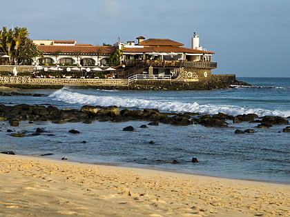
Ponta Preta is a headland in the southwest of the island of Sal in Cape Verde. It is about 2 km west of the town Santa Maria and about 2 km of Ponta do Sinó, the southernmost point of the island. It lies within the nature reserve Ponta do Sinó, at the edge of a tourism development zone. ()
Coordinates: 16°36'17"N, 22°55'42"W
Address
Sal
ContactAdd
Social media
Add
Day trips
Praia da Ponta Preta – popular in the area (distance from the attraction)
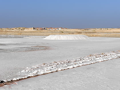
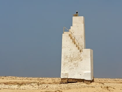
Nearby attractions include: Ponta do Sinó, Ponta de Vera Cruz, Santa Maria salt ponds, Ponta do Sinó Lighthouse.
