Portinho, Praia
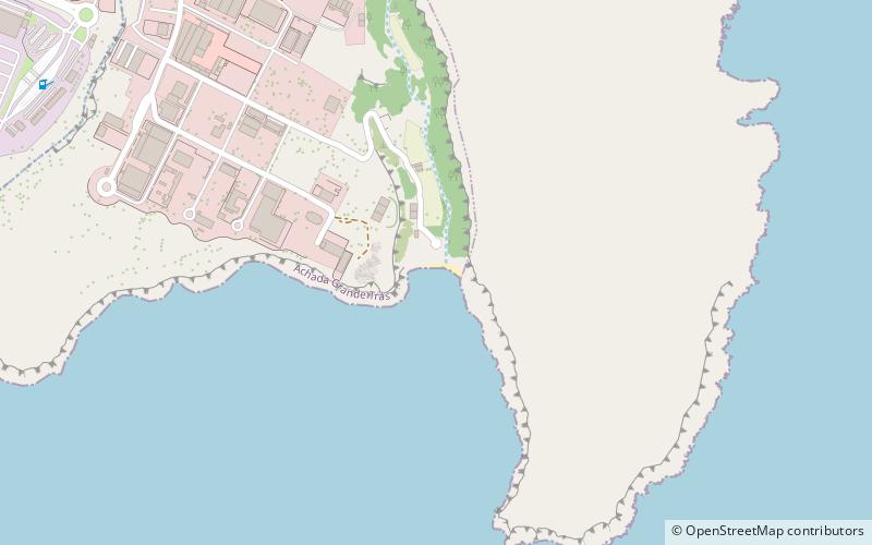
Map
Facts and practical information
Portinho is a place located in Praia (Praia county) and belongs to the category of beach.
It is situated at an altitude of 13 feet, and its geographical coordinates are 14°54'40"N latitude and 23°29'6"W longitude.
Planning a visit to this place, one can easily and conveniently get there by public transportation. Portinho is a short distance from the following public transport stations: Porto da Praia (ferry, 27 min walk), CV Movel (bus, 28 min walk).
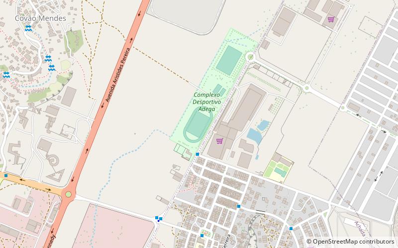
Among other places and attractions worth visiting in the area are: Achada Grande Tras (neighbourhood, 18 min walk), Complexo Desportivo Adega (arenas and stadiums, 27 min walk), Achada Grande Frente (neighbourhood, 29 min walk).
Coordinates: 14°54'40"N, 23°29'6"W
Address
Praia
ContactAdd
Social media
Add
Getting there by public transportation
Public transportation stops near this location
- Bus
- Ferry
 Bus
Bus
- Calculate routePorto da Praia 27 min walk
- Calculate routeCV Movel 28 min walk
- Calculate routeJudiciaria 30 min walk
- Calculate routeAeroporto Antigo 31 min walk
- Calculate routeTerminal Achada Mato 40 min walk
Day trips


Frequently Asked Questions (FAQ)
How to get to Portinho by public transport?
The nearest stations to Portinho:
Ferry
Bus
Ferry
- Porto da Praia (27 min walk)
Bus
- CV Movel • Lines: Achada Grande → Plateau → Meio A (28 min walk)
- Judiciaria • Lines: 6 (30 min walk)