Santa Luzia
Map

Gallery

Facts and practical information
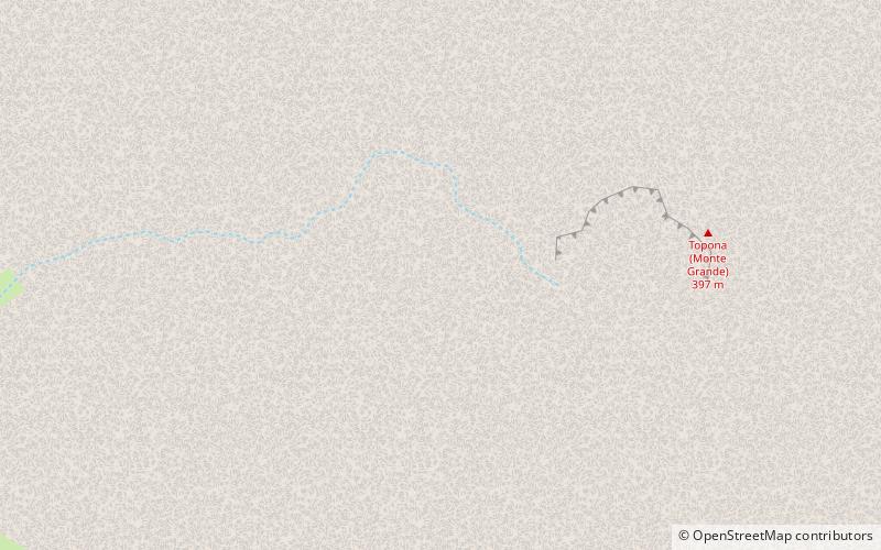
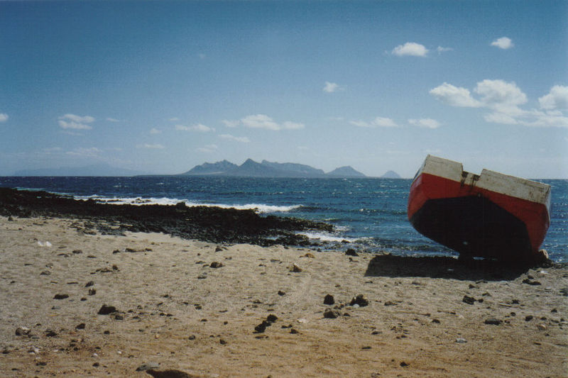
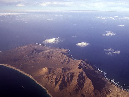
Santa Luzia is an island of the Barlavento archipelago in Cape Verde located between São Nicolau and São Vicente, the channel of Santa Luzia separates the island of São Vicente and is 8 km wide. The area is 34.2 km². Like all Cape Verdean islands, it is of volcanic origin. The highest point is Topona. Santa Luzia is 12.4 km long and 5.3 km wide. ()
Local name: Ilha de Santa Luzia Area: 13.13 mi²Maximum elevation: 1296 ftArchipelago: Cape VerdeCoordinates: 16°45'41"N, 24°44'38"W
Location
São Vicente
ContactAdd
Social media
Add
