Gudo de Cavaleiro, Santo Antão

Map
Facts and practical information
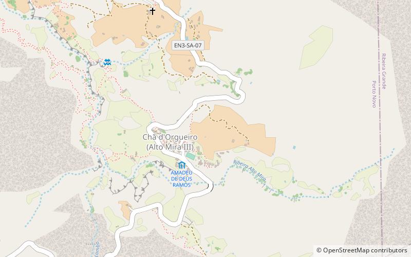
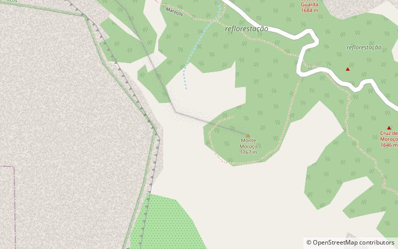
Gudo de Cavaleiro is a mountain in the middle of the island Santo Antão in Cape Verde. Its elevation is 1,810 meters. Part of the eastern plateau of Santo Antão, it lies directly south of the Moroços natural park. Nearby places are the villages Alto Mira to the west and Lagoa to the east. The mountain lies on the border of the municipalities Ribeira Grande and Porto Novo. ()
Address
Santo Antão
ContactAdd
Social media
Add
Day trips
Gudo de Cavaleiro – popular in the area (distance from the attraction)
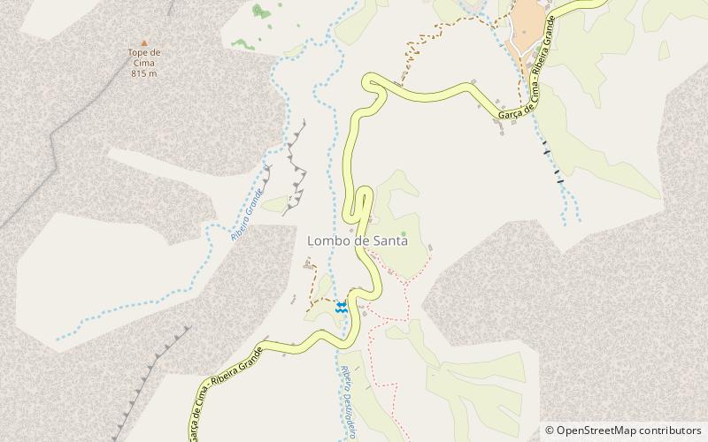
Nearby attractions include: Moroços, Lombo de Santa.

