Ilhéu Rabo de Junco, Santa Maria

Map
Facts and practical information
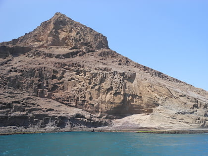
Ilhéu Rabo de Junco is an uninhabited islet near the west coast of Sal Island, Cape Verde. It lies about 300 metres from the coast. It is 253 metres long and 165 metres wide, its shoreline is about 878 metres long. It is the only islet near the island of Sal. Baía da Murdeira lies to the southeast of the islet. Further east is the highest point in southern Sal named Rabo de Junco, which has an elevation of 165 metres. The islet is part of the marine nature reserve Baía da Murdeira. ()
Alternative names: Area: 4.94 acres (0.0077 mi²)Maximum elevation: 59 ftCoordinates: 16°42'0"N, 22°59'35"W
Address
Santa Maria
ContactAdd
Social media
Add
Day trips
Ilhéu Rabo de Junco – popular in the area (distance from the attraction)
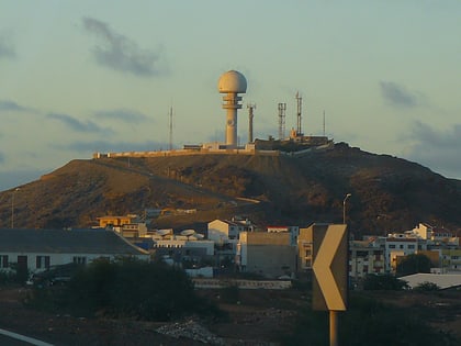
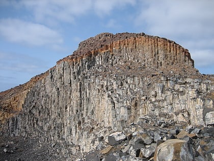
Nearby attractions include: Monte Curral, Rabo de Junco, Morrinho de Açúcar, Estádio Marcelo Leitão.


