Cemitério, Mindelo
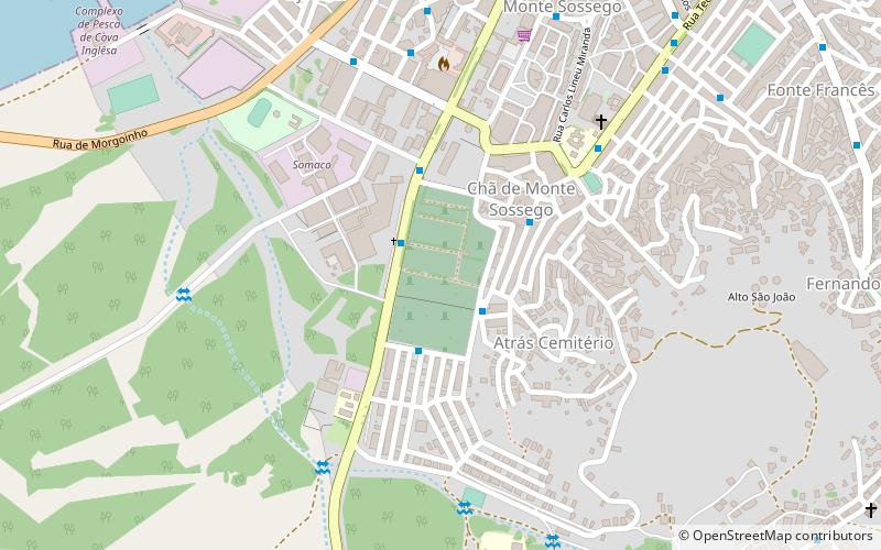
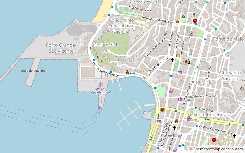
Map
Facts and practical information
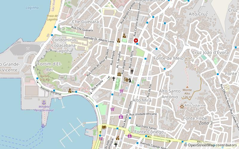
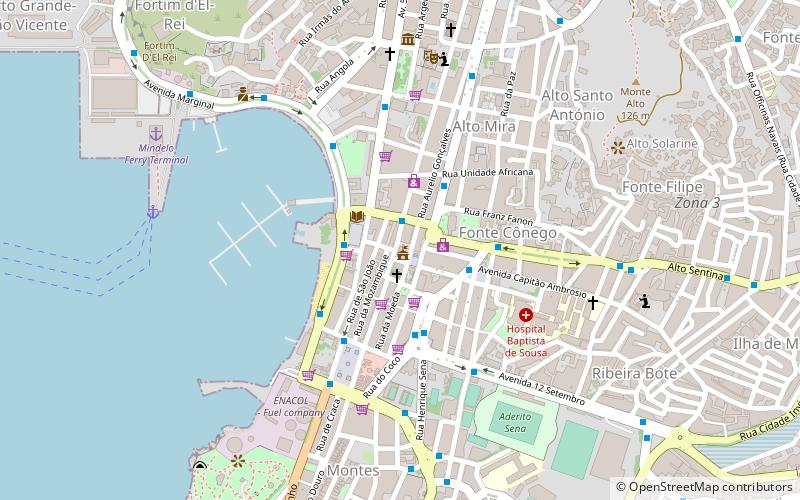
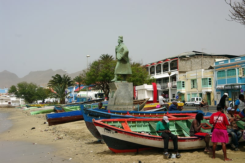
Cemitério is a place located in Mindelo (São Vicente county) and belongs to the category of cemetery.
It is situated at an altitude of 30 feet, and its geographical coordinates are 16°52'25"N latitude and 24°59'23"W longitude.
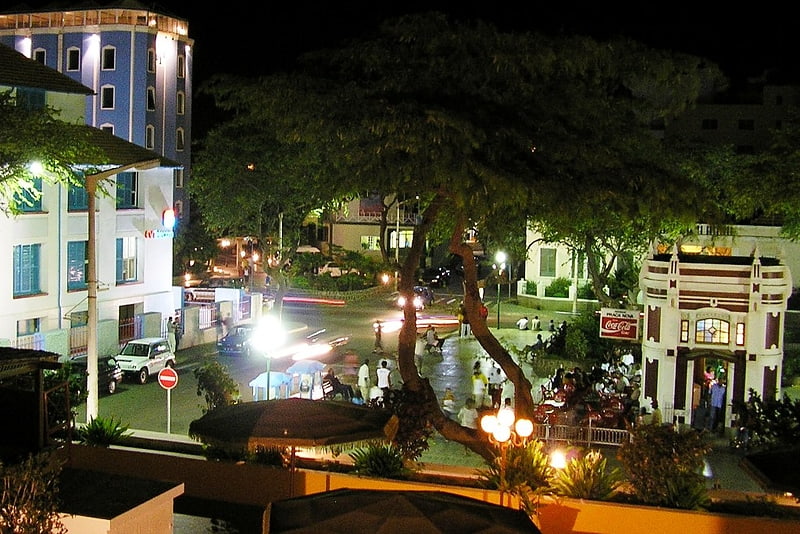
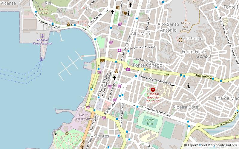
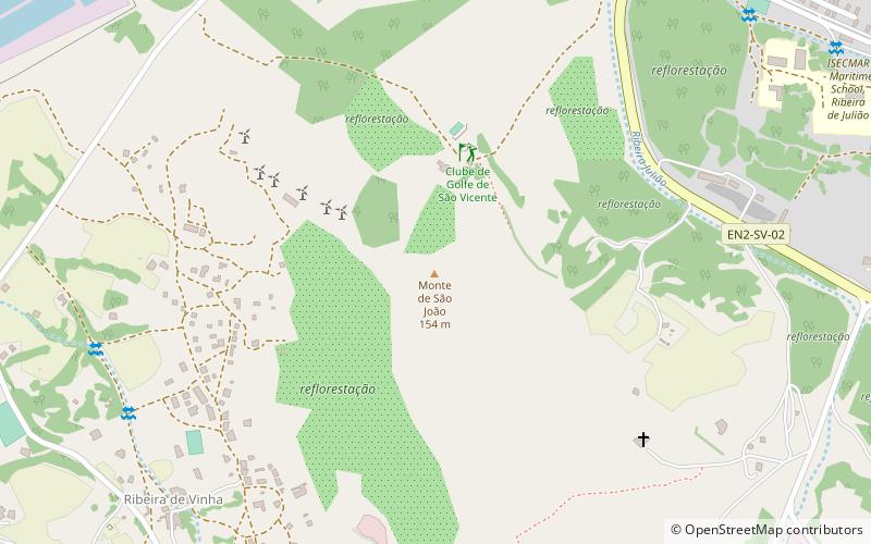
Among other places and attractions worth visiting in the area are: Estádio Municipal Adérito Sena (arenas and stadiums, 18 min walk), Monte São João (nature, 19 min walk), Diogo Afonsó (memorial, 20 min walk).
Coordinates: 16°52'25"N, 24°59'23"W
Address
Mindelo
ContactAdd
Social media
Add
Day trips

Frequently Asked Questions (FAQ)
Which popular attractions are close to Cemitério?
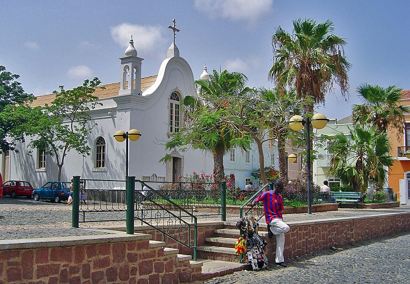
Nearby attractions include Monte São João, Mindelo (19 min walk), Diogo Afonsó, Mindelo (20 min walk), Ribeira Bote, Mindelo (21 min walk), Pro-Cathedral of Our Lady of the Light, Mindelo (22 min walk).