Monte Vermelho, Fogo

Map
Facts and practical information
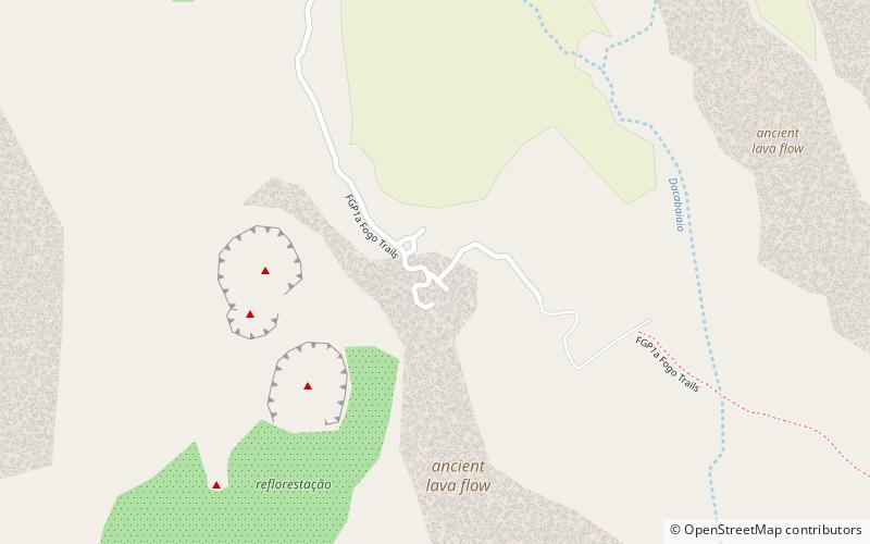
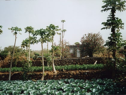
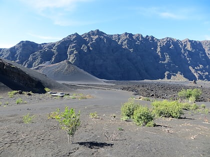
Monte Vermelho is a settlement in the southeastern part of the island of Fogo, Cape Verde. It is situated 3 km east of Fonte Aleixo, 3 km southwest of Figueira Pavão, 6 km southwest of Cova Figueira and 19 km southeast of the island capital São Filipe. At the 2010 census its population was 221. Its elevation is about 400 meters. ()
Coordinates: 14°50'43"N, 24°19'41"W
Address
Fogo
ContactAdd
Social media
Add
Day trips
Monte Vermelho – popular in the area (distance from the attraction)
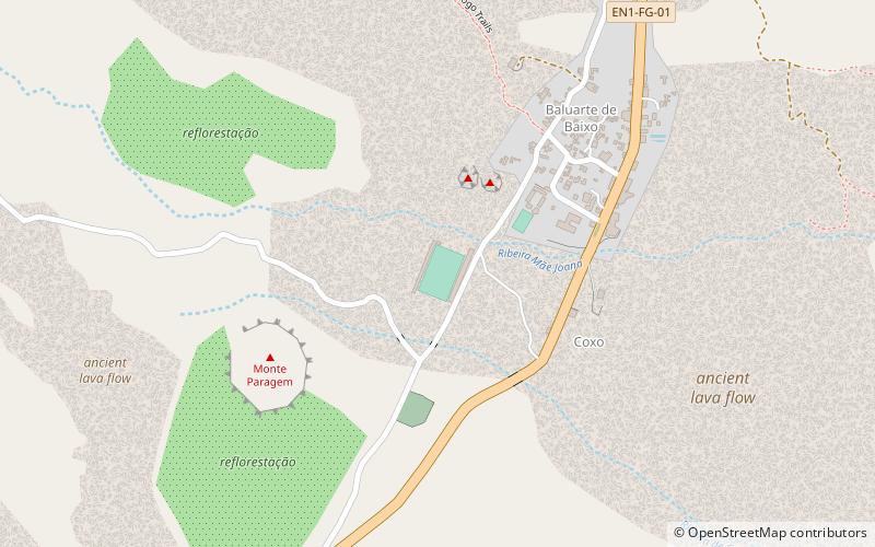
Nearby attractions include: Salto, Cabeça Fundão, Estádio Monte Pelado.


