Vale de Cavaleiros

Gallery (2)
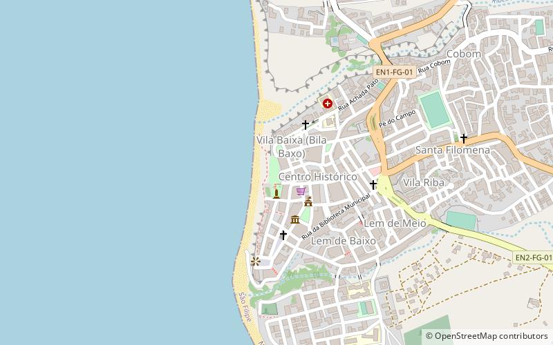
Map
Map
Gallery
Facts and practical information
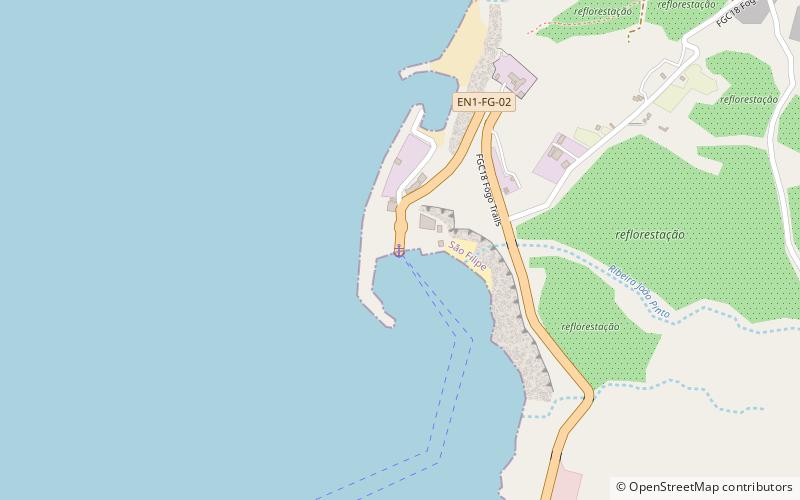
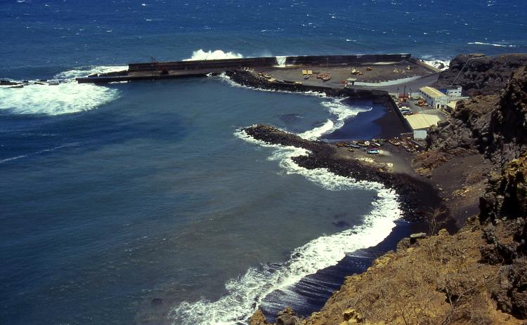
Vale de Caveiros is the port of the island of Fogo, Cape Verde. It is situated 3 km north of the city of São Filipe. The port is managed by the national port authority ENAPOR. The port was reconstructed and expanded in 2013. ()
Coordinates: 14°55'13"N, 24°30'13"W
Location
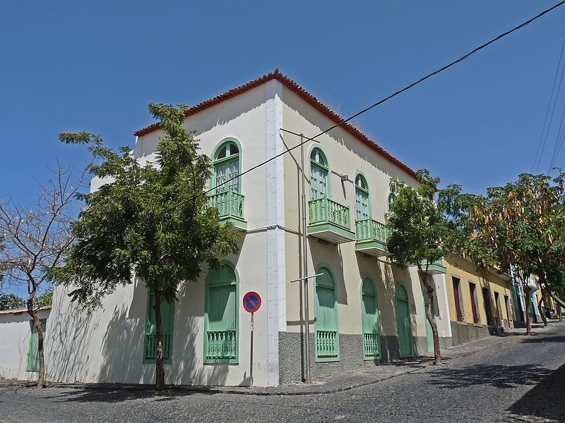
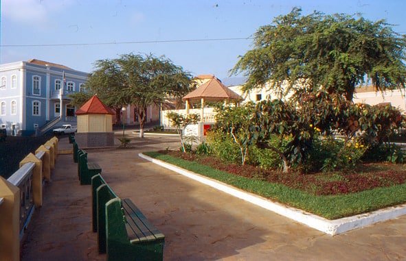
São Filipe
ContactAdd
Social media
Add
Day trips