Ponta Nhô Martinho

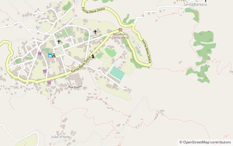
Map
Facts and practical information
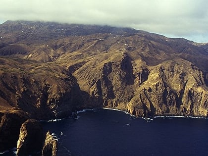
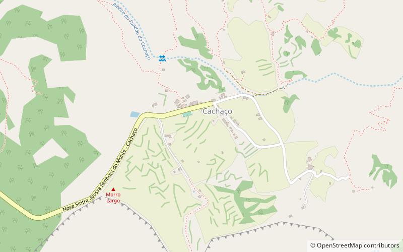
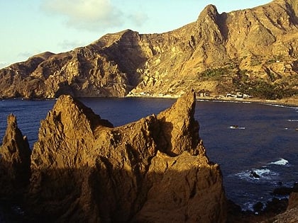
Ponta Nhô Martinho is a headland on the Island of Brava, Cape Verde. It is the southernmost point of Cape Verde. It is located nearly 4 km south of Cachaço, the nearest settlement. Formerly, the point was called Salt Point, for instance in the 1747 map by Jacques-Nicolas Bellin. There is a lighthouse on Ponta Nhô Martinho, which is the southernmost structure in Cape Verde. Its focal plane is 29 metres above sea level. ()
Coordinates: 14°48'10"N, 24°42'6"W
Location
Brava
ContactAdd
Social media
Add
Day trips
Ponta Nhô Martinho – popular in the area (distance from the attraction)
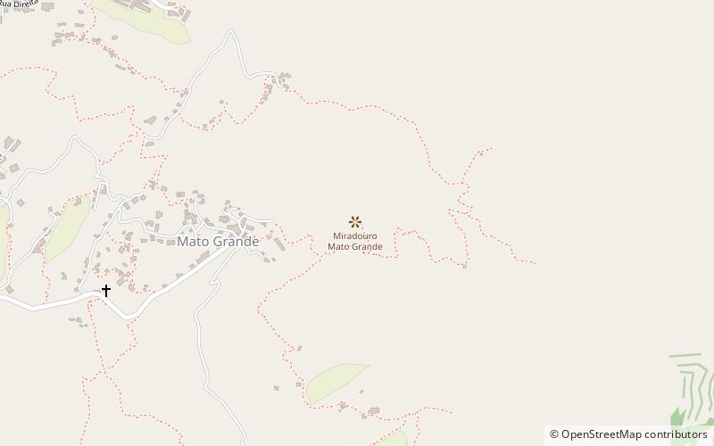
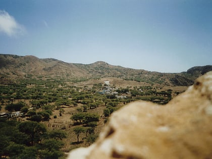
Nearby attractions include: Monte Fontainhas, Mato Grande, Cachaço, Campo Baixo.
