Ponta Jalunga
Map
Facts and practical information
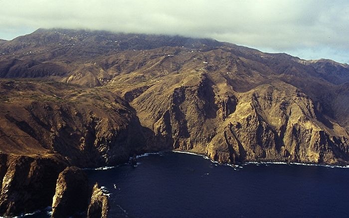
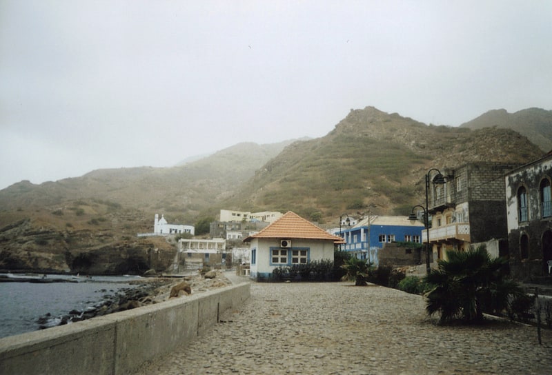
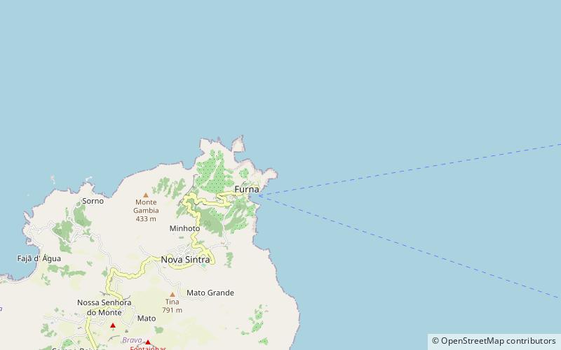
Ponta Jalunga is a headland located nearly a kilometer northeast of the port of Furna on the island of Brava in southwestern Cape Verde. It is the northeasternmost point of the island. The promontory is a rocky area, up to 120 meters high. The headland was mentioned as Pt. Ghelongo in the 1747 map by Jacques-Nicolas Bellin. ()
Coordinates: 14°53'28"N, 24°40'21"W
Location
Brava
ContactAdd
Social media
Add
Day trips