Vila Nova, Praia
Map
Facts and practical information
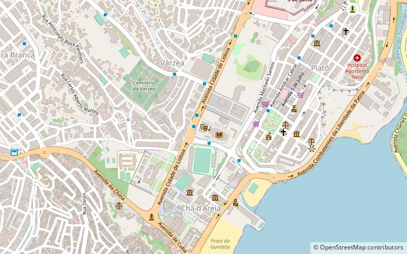
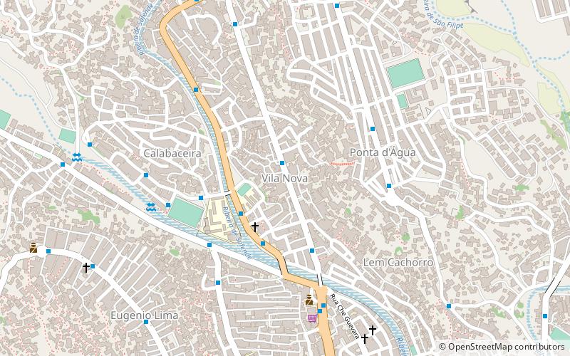
Vila Nova is a subdivision of the city of Praia in the island of Santiago, Cape Verde. Its population was 4,868 at the 2010 census. It is situated north of the city centre. Adjacent neighbourhoods are Safende to the north, Ponta de Água to the east, Lem Cachorro to the southeast, Achadinha to the south and Calabaceira to the west. Ribeira da Trindade forms its southern border. ()
Coordinates: 14°55'59"N, 23°30'39"W
Address
Praia
ContactAdd
Social media
Add
Day trips
Vila Nova – popular in the area (distance from the attraction)
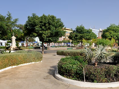
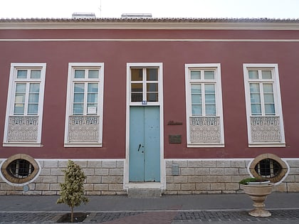
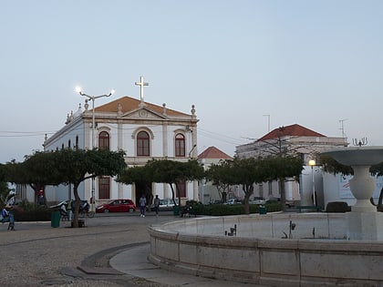
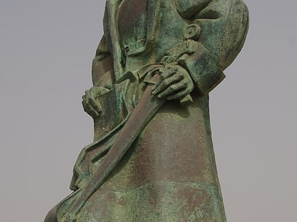
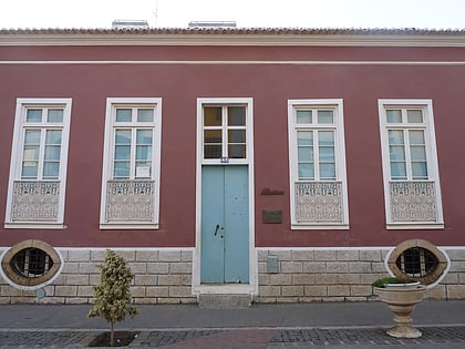
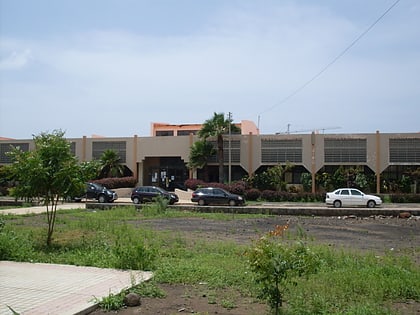
Nearby attractions include: Estádio da Várzea, Praça Alexandre Albuquerque, Museu Etnográfico da Praia, National Auditorium.
Frequently Asked Questions (FAQ)
Which popular attractions are close to Vila Nova?
Nearby attractions include Quartel Jaime Mota, Praia (5 min walk), Ponta de Água, Praia (6 min walk), Achadinha de Baixo, Praia (11 min walk), Fazenda, Praia (13 min walk).
How to get to Vila Nova by public transport?
The nearest stations to Vila Nova:
Bus
Bus
- Mercado • Lines: 3, 4 (1 min walk)
- Papagaio • Lines: 10, 11, 5 (3 min walk)
