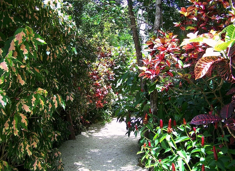
Cayman Islands dry forests, Grand Cayman

Gallery (1)
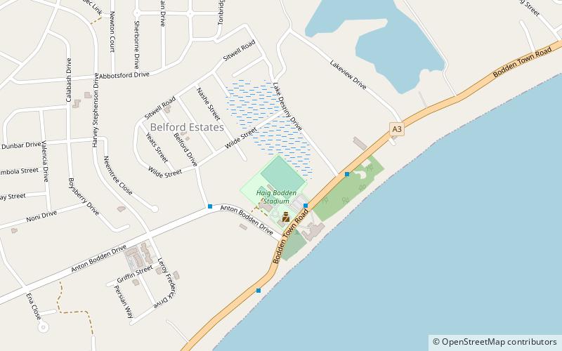
Map
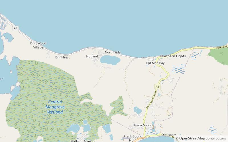
Map
Facts and practical information
The Cayman Islands dry forests ecoregion covers about half of the Cayman Islands in the Caribbean Sea. The other half of the low-lying islands are mangroves. The dry forests of Grand Cayman have been heavily cleared or degraded for human development; the less populated islands have more intact wooded habitat. ()
Coordinates: 19°20'20"N, 81°12'4"W
Address
Grand Cayman
ContactAdd
Social media
Add
Day trips