Dzanga-Ndoki National Park
Map
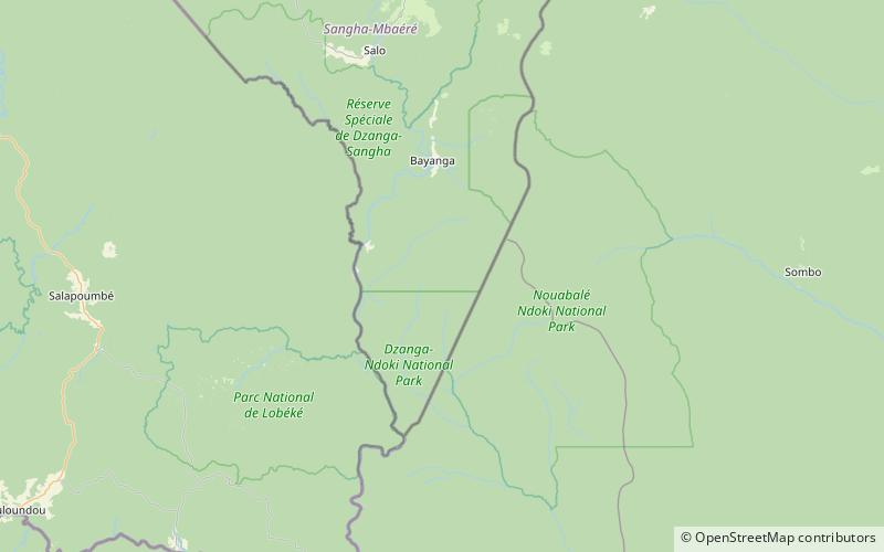
Map

Facts and practical information
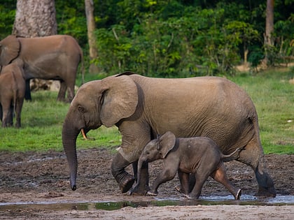
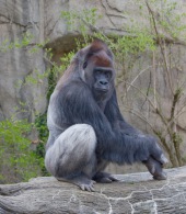
The Dzanga-Ndoki National Park is located in the southwestern extremity of the Central African Republic. Established in 1990, the national park is 1,143.26 square kilometres. The national park is split into two non-continuous sectors, the northern Dzanga sector 49,500 ha and the southern Ndoki sector 72,500 ha. Notable in the Dzanga sector is a gorilla density of 1.6/km2, one of the highest densities ever reported for the western lowland gorilla. ()
Local name: Parc national Dzanga-Ndoki Established: 1990 (36 years ago)Unesco: from 2017Area: 471.04 mi²Elevation: 1490 ft a.s.l.Coordinates: 2°37'25"N, 16°17'1"E
Location
Sangha-Mbaéré
ContactAdd
Social media
Add
Best Ways to Experience the Park
Wildlife
AnimalsSee what popular animal species you can meet in this location.
More
Show more
Day trips
Dzanga-Ndoki National Park – popular in the area (distance from the attraction)
Nearby attractions include: Sangha Trinational.
