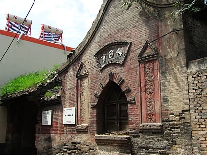
Trek Zone

Xinghualing District, Taiyuan
#8 among attractions in Taiyuan

Sightseeing
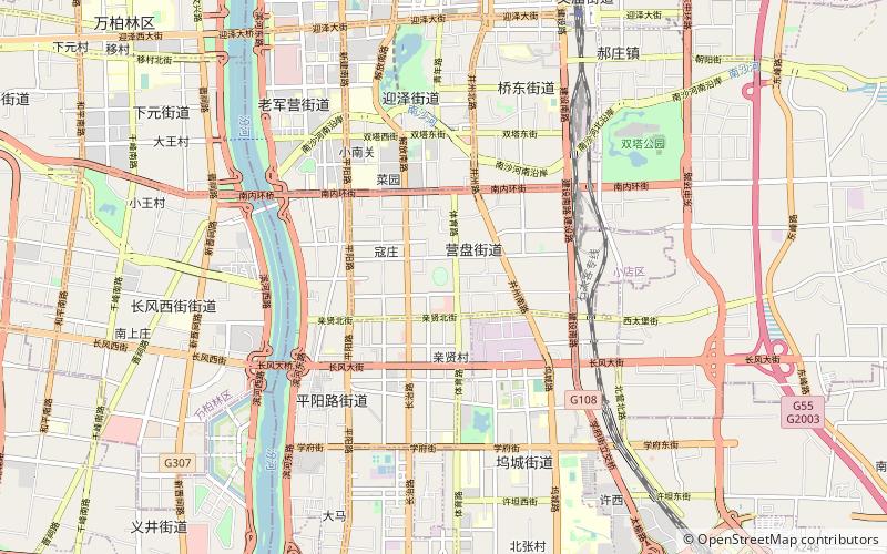
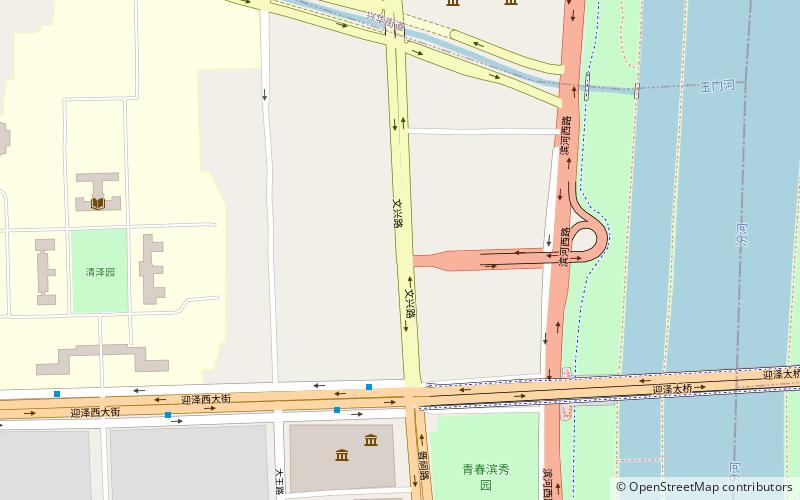
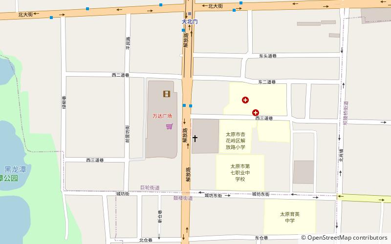
Xinghualing District location map
Map

Facts and practical information

Local name: 杏花岭区 Area: 65.71 mi²Coordinates: 37°53'2"N, 112°33'22"E
Address

Taiyuan China

Contact
Social media
Add
Day trips

Xinghualing District – popular in the area (distance from the attraction)

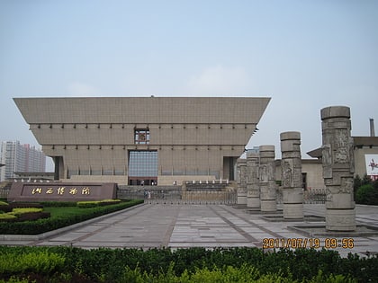
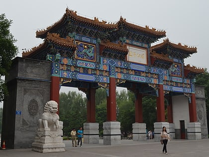
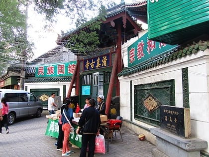
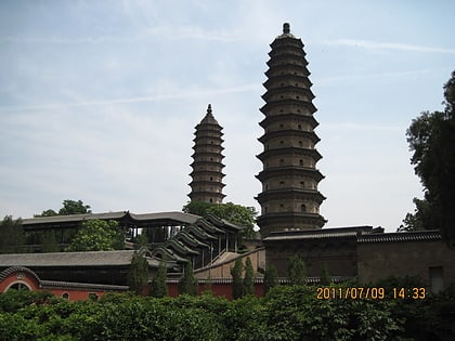
Nearby attractions include: Shanxi Museum, Yingze Park, Taiyuan Ancient Mosque, Twin Pagoda Temple.

  • shanxi museum taiyuan2.1 miSW
  • yingze park taiyuan2 miS
  • taiyuan ancient mosque1.4 miS
  • twin pagoda temple taiyuan3.4 miSE
  • christs church taiyuan5.1 miSW
  • chongshan temple taiyuan1.6 miSE
  • taiyuan riverside sports centre gymnasium1.4 miSW
  • shanxi provincial stadium taiyuan location map
    3.9 miS
  • taiyuan university of technology location map
    2.4 miSW

Frequently Asked Questions (FAQ)

How to get to Xinghualing District by public transport?

The nearest stations to Xinghualing District:

Bus
  • 大北门 • Lines: 36, 36路 胜利桥东→南寨村车场 (7 min walk)
  • 北大街绿柳巷口 • Lines: 36路 胜利桥东→南寨村车场 (11 min walk)

Metro
  • 大北门 • Lines: 2 (7 min walk)
  • 缉虎营 • Lines: 2 (10 min walk)

Where to next? Visit shanxi Shanxi region page or discover the top tourist attractions in China.