Qomolangma National Park, Qomolangma

Gallery (1)
Map
Map
Facts and practical information
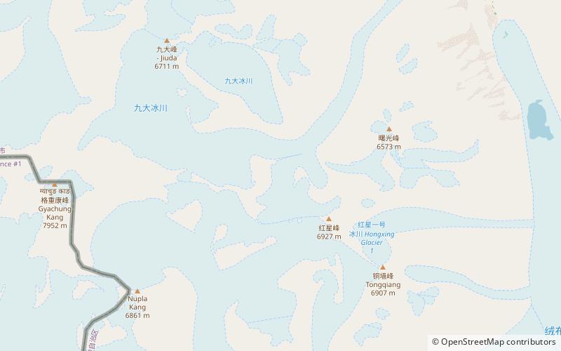
Qomolangma National Park is a national park located in Xigazê Prefecture, Tibet Autonomous Region, China. Mount Qomolangma is the Tibetan and Chinese name for Mount Everest. The park, opened in 2012, occupies 78,000 square kilometres, and contains mountains of altitudes ranging from 7,000 to 8,848 metres. ()
Elevation: 19938 ft a.s.l.Coordinates: 28°6'0"N, 86°48'0"E
Address
Qomolangma
ContactAdd
Social media
Add
Day trips


