Folly fort, Guangzhou
Map
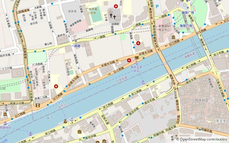
Map

Facts and practical information
A folly fort or just folly is a specific type of fort built in shallow water, near the shore, in the second half of the 19th century. The main characteristic of a folly fort was that it was built on the water, very close to the edge, very small, and exclusively for military defense with no intention of being used as normal living quarters. They were really defense fortifications rather than what were called "forts" at the time, which were on land and much larger. ()
Coordinates: 23°6'48"N, 113°15'18"E
Address
Guangzhou
ContactAdd
Social media
Add
Day trips
Folly fort – popular in the area (distance from the attraction)
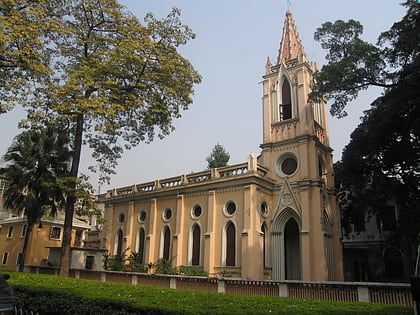
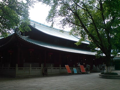
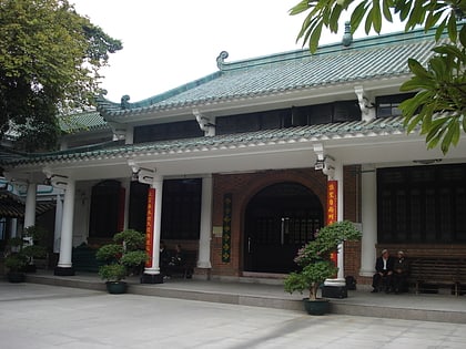
Nearby attractions include: Sacred Heart Cathedral, Our Lady of Lourdes Chapel, Dafo Temple, Hoi Tong Monastery.
Frequently Asked Questions (FAQ)
Which popular attractions are close to Folly fort?
Nearby attractions include Jiefang Bridge, Guangzhou (7 min walk), Sacred Heart Cathedral, Guangzhou (8 min walk), Hoi Tong Monastery, Guangzhou (10 min walk), Shaji, Guangzhou (11 min walk).
How to get to Folly fort by public transport?
The nearest stations to Folly fort:
Bus
Ferry
Metro
Bus
- Changdi • Lines: 128路(往珠岛花园方向), 131B路环线(逆时针方向), 186路(往广园新村方向), 208路(往芳村大道西方向), 219路(往黄沙方向), 4, 57路(往滘口客运站方向), 58路(往时代玫瑰园方向), 61路(往滘口客运站方向), 64路(往东沙工业园方向), 夜16路(往城西花园方向), 夜1路(往芳村花园南门方向), 夜31路(往珠岛花园方向), 广281路(往绿地香树花城方向), 旅游2线(往芳村大道西方向) (3 min walk)
- No.1 Affiliated Hospital of Guangzhou Medical College Bus Terminal • Lines: 58路(往广医一院方向), 58路(往时代玫瑰园方向) (4 min walk)
Ferry
- Union Pier • Lines: S8 (3 min walk)
- Kiankow Ferry • Lines: S8 (4 min walk)
Metro
- Yide Lu • Lines: 6 (6 min walk)
- Haizhu Square • Lines: 2, 6 (12 min walk)

