Tso Ngön, Chang Tang Nature Reserve
Map

Map

Facts and practical information
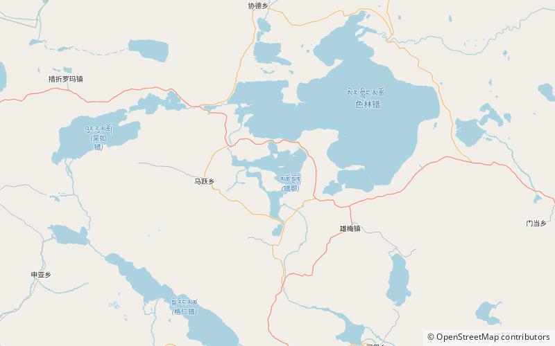
Tso Ngön is a plateau lake in Xainza County, Tibet Autonomous Region, southwest of China. The lake is part of the Siling Lake drainage system. The shoreline is deeply indented by bays, and the lake is dotted by many islands. It is 28.5 km long and 16.7 km wide and has an area of 269 square km. ()
Local name: 错鄂 Length: 17.71 miWidth: 10.38 miElevation: 14970 ft a.s.l.Coordinates: 31°35'7"N, 88°43'18"E
Address
Chang Tang Nature Reserve
ContactAdd
Social media
Add
