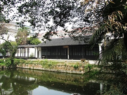
Changzhou Mosque, Changzhou
Map
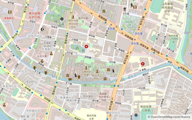
Map

Facts and practical information
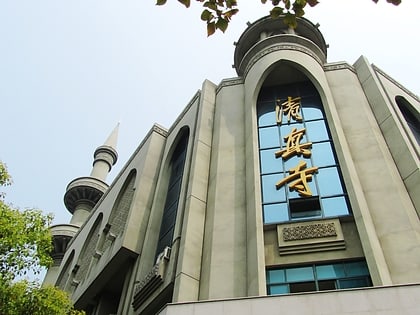
The Changzhou Mosque is a mosque in Tianning District, Changzhou City, Jiangsu Province, China. ()
Local name: 常州清真寺 Completed: 2006 (20 years ago)Minaret height: 167 ftCoordinates: 31°46'31"N, 119°57'22"E
Address
Changzhou
ContactAdd
Social media
Add
Day trips
Changzhou Mosque – popular in the area (distance from the attraction)
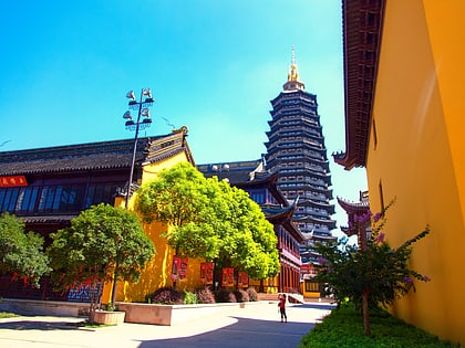
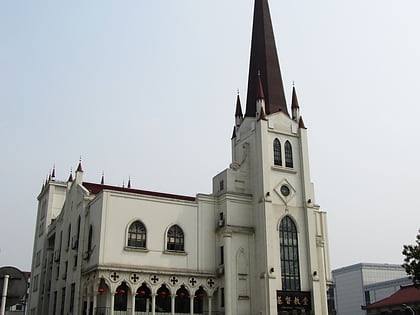
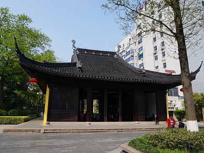
Nearby attractions include: Tianning Temple, Christ's Church, Chongfa Temple, Jin Garden.
Frequently Asked Questions (FAQ)
Which popular attractions are close to Changzhou Mosque?
Nearby attractions include Christ's Church, Changzhou (8 min walk), Jin Garden, Changzhou (13 min walk), Tianning Temple, Changzhou (14 min walk), Chongfa Temple, Changzhou (18 min walk).
How to get to Changzhou Mosque by public transport?
The nearest stations to Changzhou Mosque:
Bus
Metro
Train
Bus
- 青果巷 • Lines: 14, 16, 2, 33, 38, 6, 78, 8 (5 min walk)
- 小营前 • Lines: 212, 220, 23 白荡河公交中心站-红梅公交中心站, 53, 6, B11, B12, B2 (6 min walk)
Metro
- Palace of Culture • Lines: 2, 常州地铁1号线 南夏墅-森林公园, 常州地铁1号线 森林公园-南夏墅 (6 min walk)
- Tongji Bridge • Lines: 常州地铁1号线 南夏墅-森林公园, 常州地铁1号线 森林公园-南夏墅 (9 min walk)
Train
- 常州 (27 min walk)
