Kwai Hing, Hong Kong
Map
Map

Facts and practical information
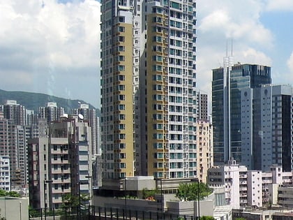
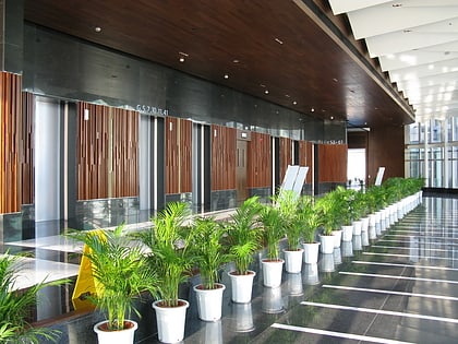
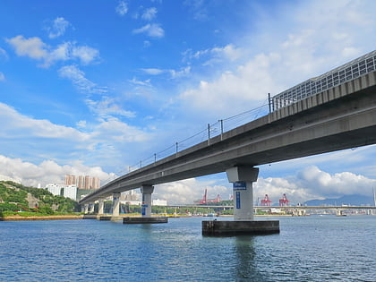
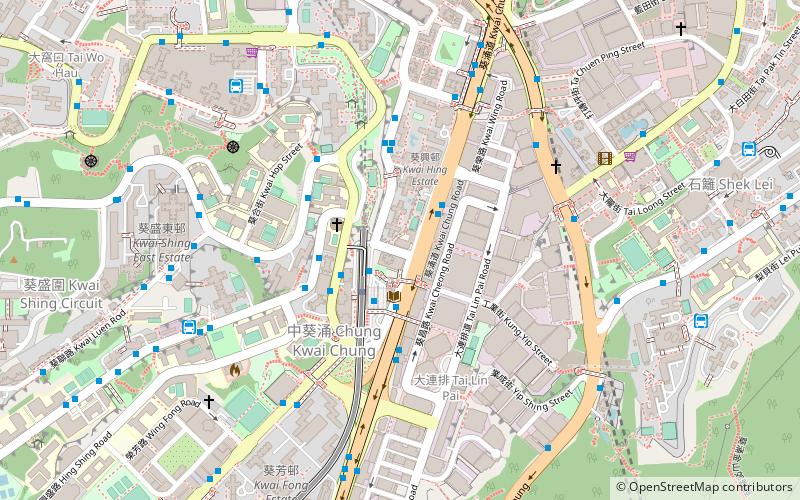
Kwai Hing is an area of Kwai Chung Town, Hong Kong. The mainly residential area extends to North Kwai Chung in the north and east, Kwai Fong in the south, and Kwai Chung Estate to the west. It is part of the reclamation of Gin Drinkers Bay in 1960s. It is administrated by Kwai Tsing District Council. It is named after Kwai Hing Estate, a public housing estate in Kwai Chung. ()
Address
葵青区 (荃湾)Hong Kong
ContactAdd
Social media
Add
Day trips
Kwai Hing – popular in the area (distance from the attraction)
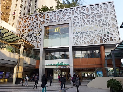
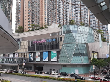
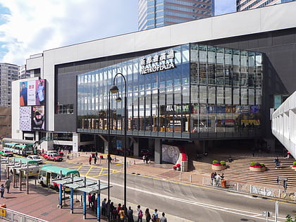
Nearby attractions include: Kwai Chung Plaza, Luk Yeung Galleria, Citywalk, Metroplaza.
Frequently Asked Questions (FAQ)
Which popular attractions are close to Kwai Hing?
Nearby attractions include Tai Wo Hau, Hong Kong (14 min walk), Metroplaza, Hong Kong (15 min walk), Metroplaza Towers, Hong Kong (15 min walk), Kwai Tsing Theatre, Hong Kong (16 min walk).
How to get to Kwai Hing by public transport?
The nearest stations to Kwai Hing:
Bus
Metro
Bus
- Kwai Hing Station • Lines: A32, Na32 (2 min walk)
- Kwai Chun Court • Lines: 260C, 36M, 49S, 57M, 58M, 59A, 61M, 67M, 69M, 69P, A32, E32, E32A, N260, Na32 (3 min walk)
Metro
- Kwai Hing • Lines: Twl (3 min walk)
- Kwai Fong • Lines: Twl (15 min walk)

 MTR
MTR LTR
LTR Tram
Tram
