Macau/Peninsula, Macau

Facts and practical information
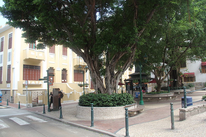
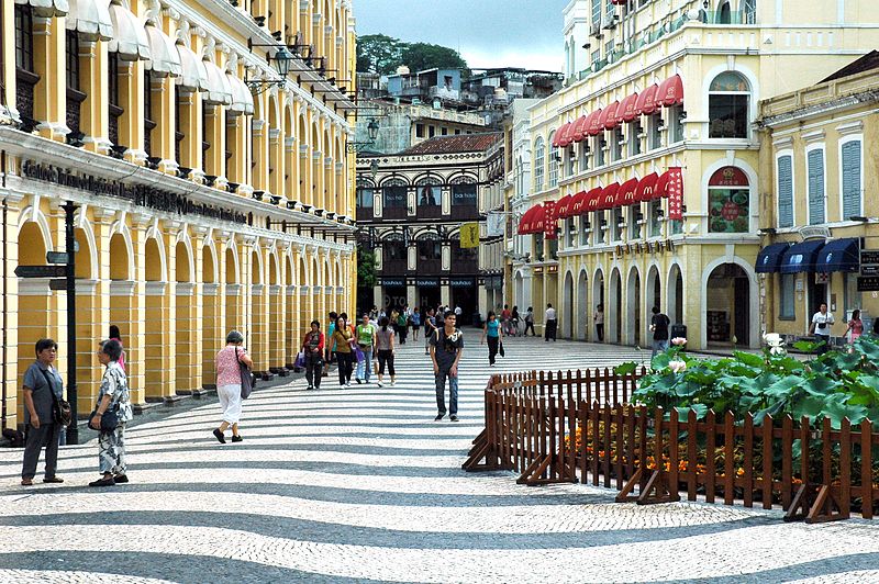
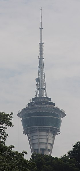
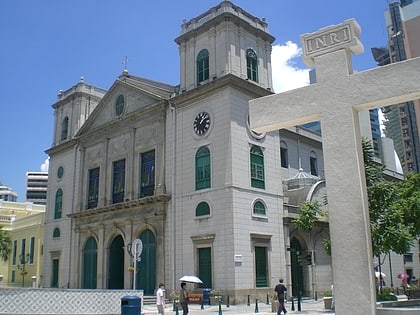
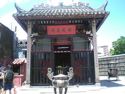
The Macau Peninsula is the most populous and historic part of Macau. It has an area of 8.5 square kilometers and is geographically connected to Guangdong province at the northeast through an isthmus 200 meters wide. The peninsula, together with downtown Zhuhai, sits on an island separated from the continent by distributaries of the Pearl River. The Border Gate was built on the northern isthmus. At the south, the peninsula is connected to Taipa Island by three bridges, the Friendship Bridge; the Macau-Taipa Bridge; and the Sai Van Bridge. The longest axis extends 4 kilometers from the Border Gate to the southwestern edge, Barra. There is a western "Inner Harbor" paralleled by an "Outer Harbor" to the east. The 93 meters Guia Hill is the highest point on the peninsula, which has an average elevation of 50 to 75 meters. Many coastal places are reclaimed from the sea. The Historic Center of Macau, which is entirely on the Macau Peninsula, became a World Heritage Site in 2005. ()
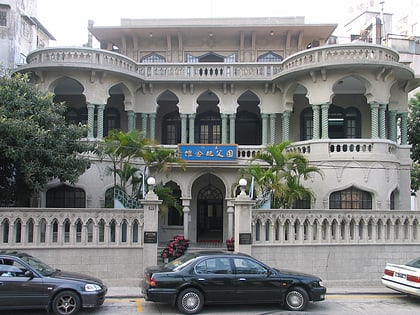
何簢園 (he min yuan)Macau
Macau/Peninsula – popular in the area (distance from the attraction)
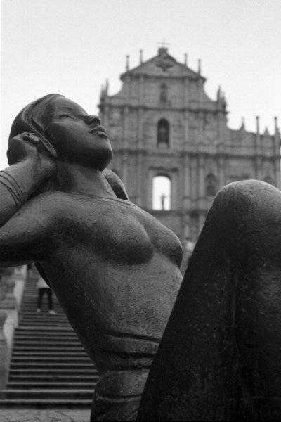
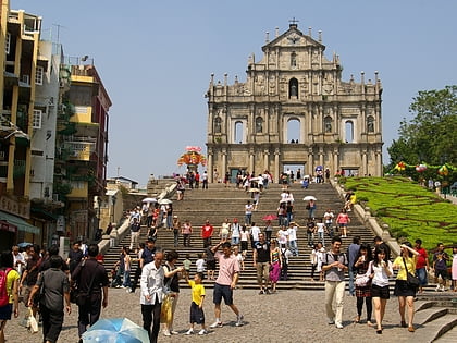
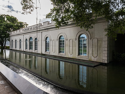
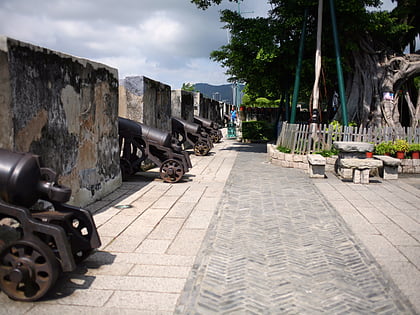
Nearby attractions include: Ruins of St. Paul's, Museum of Macau, Fortaleza do Monte, Guia Fortress.
Frequently Asked Questions (FAQ)
Which popular attractions are close to Macau/Peninsula?
How to get to Macau/Peninsula by public transport?
Bus
- 塔石廣場 Praça do Tap Seac • Lines: 18A, 19, 2, 4 (1 min walk)
- 高美士中葡中學 Escola S. Luso-chinesa de L.G. Gomes • Lines: 7, 8 (2 min walk)
Train
- Wanzaibei (30 min walk)


