Victoria Harbour, Hong Kong
Map
Gallery
Facts and practical information
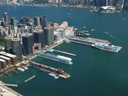
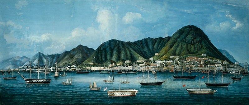
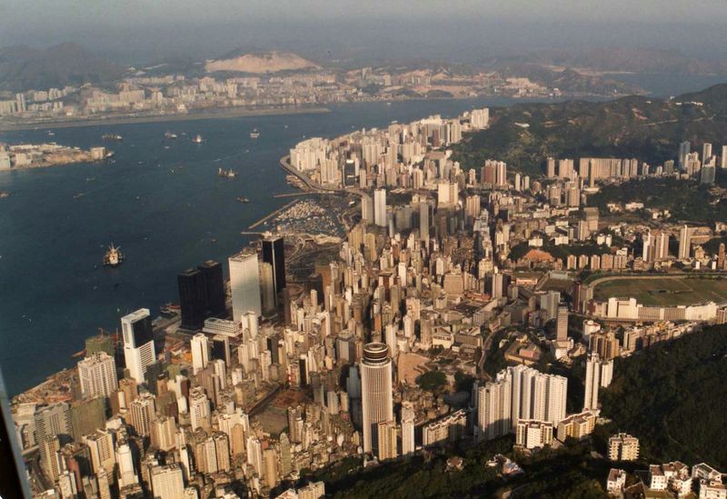
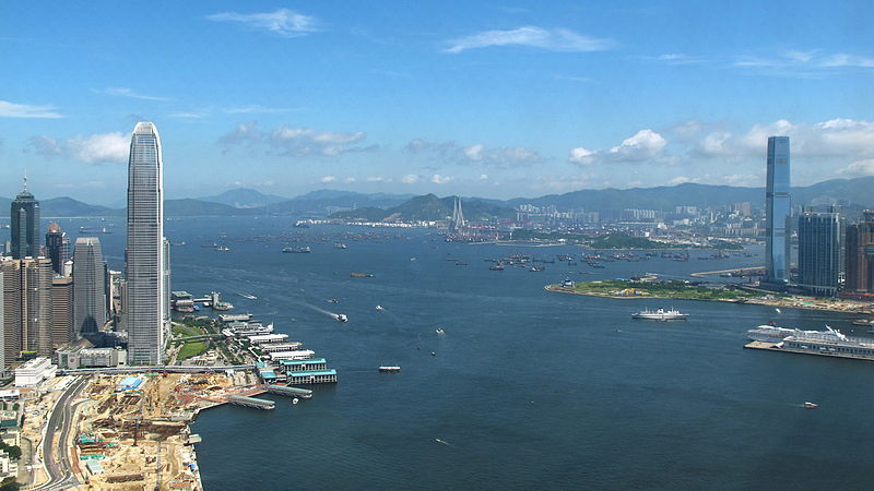
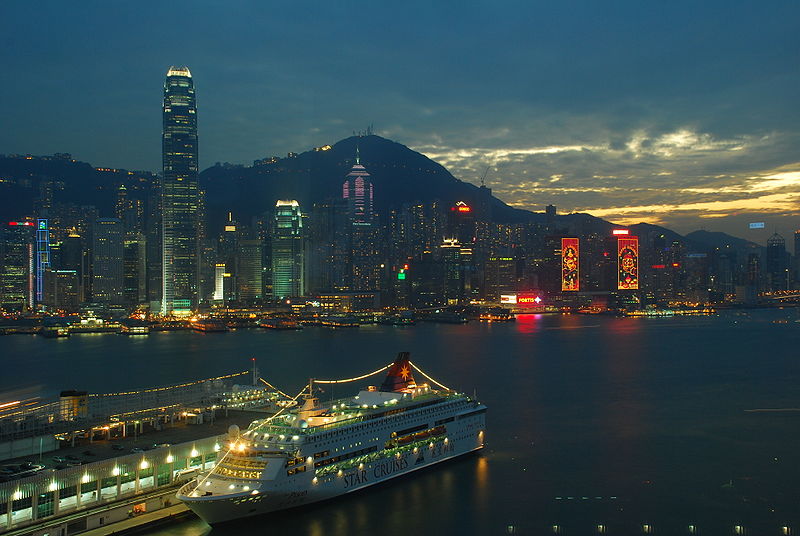
Victoria Harbour is a natural landform harbour in Hong Kong separating Hong Kong Island in the south from the Kowloon Peninsula to the north. The harbour's deep, sheltered waters and strategic location on the South China Sea were instrumental in Hong Kong's establishment as a British colony in 1841 and its subsequent development as a trading centre. ()
Address
Hong Kong
ContactAdd
Social media
Add
Day trips
Victoria Harbour – popular in the area (distance from the attraction)
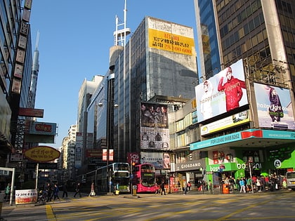
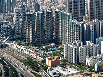
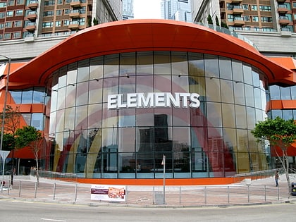
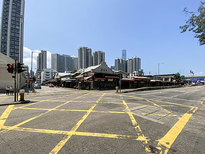
Nearby attractions include: Nathan Road, Olympian City, Elements, Yau Ma Tei Fruit Market.
Frequently Asked Questions (FAQ)
Which popular attractions are close to Victoria Harbour?
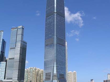
Nearby attractions include International Commerce Centre, Hong Kong (10 min walk), The Cullinan, Hong Kong (12 min walk), Hong Kong Palace Museum, Hong Kong (12 min walk), West Kowloon Waterfront Promenade, Hong Kong (13 min walk).
How to get to Victoria Harbour by public transport?
The nearest stations to Victoria Harbour:
Bus
Metro
Train
Ferry
Bus
- Western Harbour Crossing • Lines: 904, 905, 960, 960A, 960B, 960C, 960P, 960S, 960X, 961, 961P, 968X, 982X (10 min walk)
- Western Harbour Crossing Toll Plaza • Lines: 904, 905, 905P, 933, 962, 962A, 962B, 962C, 962E, 962G, 962P, 962S, 962X, 967, 967X, 969, 969A, 969B, 969C, 969P, 969X, 970, 970X, 971, 971R, 973, 976, 989, N962, N969, X962, X970 (10 min walk)
Metro
- Kowloon • Lines: Ael, Tcl (13 min walk)
- Olympic • Lines: Tcl (19 min walk)
Train
- Hong Kong West Kowloon (18 min walk)
Ferry
- Star Ferry Pier (35 min walk)



 MTR
MTR LTR
LTR Tram
Tram