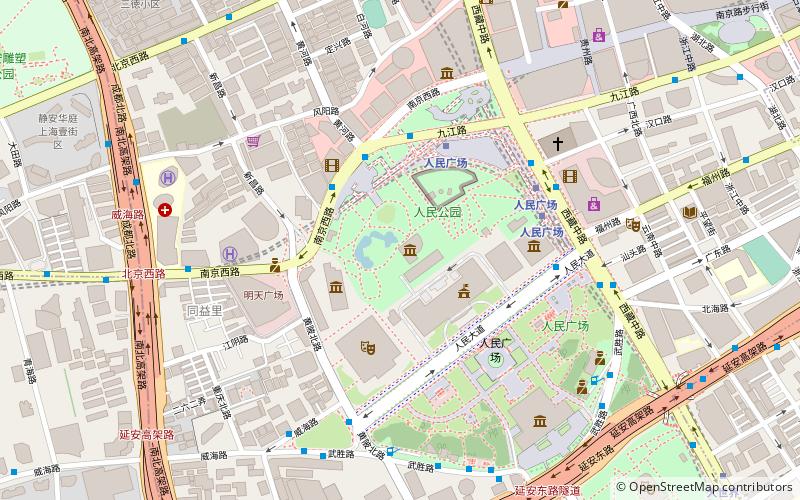
Shanghai Urban Planning Exhibition Center, Shanghai
Facts and practical information
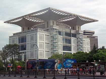
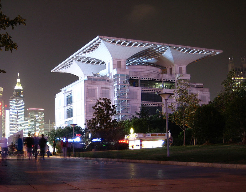
Nestled in the heart of Shanghai, the Shanghai Urban Planning Exhibition Center is a must-visit museum for those intrigued by the city's architectural evolution and future developments. This dynamic facility, situated adjacent to the People's Square, offers a fascinating glimpse into Shanghai's urban transformation and its ambitious vision for the coming decades.
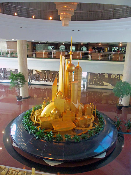
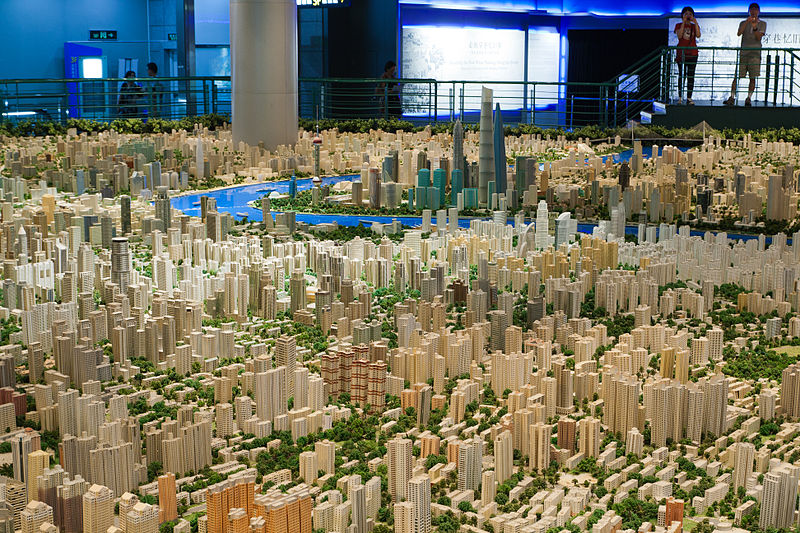
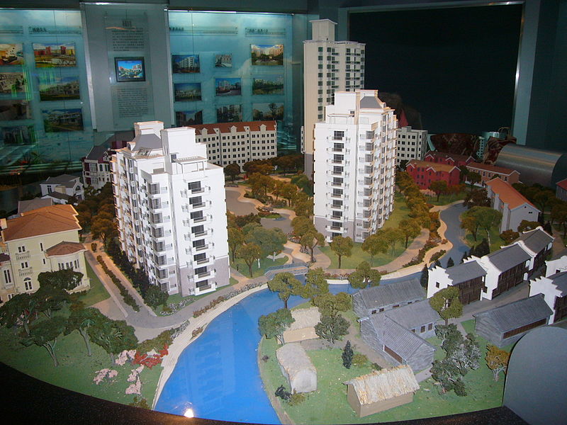
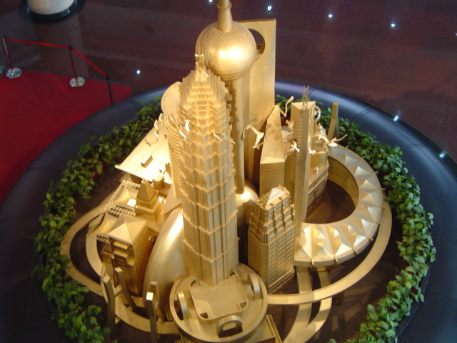
The centerpiece of the exhibition is a massive scale model of the city, meticulously detailed and sprawling across an entire floor. This model provides visitors with a bird's-eye view of Shanghai, highlighting existing landmarks and showcasing planned projects that will further reshape the city's skyline. It's an impressive display that allows for an appreciation of the scale and complexity of urban planning in one of the world's most populous metropolises.
Beyond the model, the center features interactive displays, multimedia exhibits, and thematic galleries that narrate the story of Shanghai's past, present, and future. From its humble beginnings as a fishing village to its current status as a global financial hub, the museum captures the city's rapid growth and the challenges that come with it. There are also exhibits dedicated to transportation, environmental sustainability, and the use of technology in urban management, all key components of Shanghai's urban strategy.
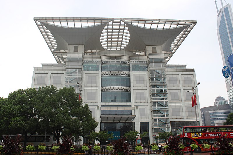
The Shanghai Urban Planning Exhibition Center is not only informative but also educational, providing visitors with a deeper understanding of the intricacies involved in managing such a vast and dynamic city. The museum's futuristic design and state-of-the-art facilities complement the forward-looking theme that permeates the exhibits within.
Accessible to professionals, students, and tourists alike, the museum offers guided tours in multiple languages, ensuring that its message resonates with a broad audience. Whether you're an urban planning enthusiast or a curious traveler, the Shanghai Urban Planning Exhibition Center stands as a testament to human ingenuity and the endless possibilities that come with thoughtful city planning.
Shanghai Urban Planning Exhibition Center – popular in the area (distance from the attraction)
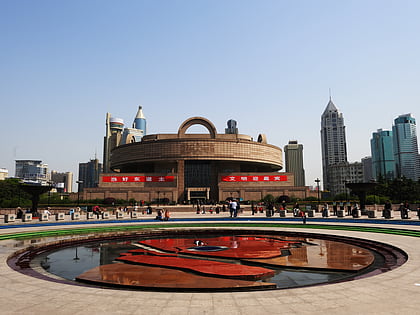
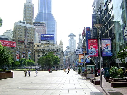
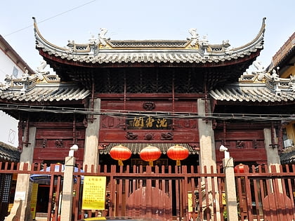
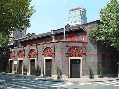
Nearby attractions include: Shanghai Museum, Nanjing Road, Chenxiang Pavilion, Site of the First National Congress of the Chinese Communist Party.
Frequently Asked Questions (FAQ)
Which popular attractions are close to Shanghai Urban Planning Exhibition Center?
How to get to Shanghai Urban Planning Exhibition Center by public transport?
Metro
- People's Square • Lines: 1, 2, 8 (3 min walk)
- Dashijie • Lines: 14, 8 (11 min walk)
Trolleybus
- Middle Xizang Road • Lines: 71 (7 min walk)
- North Huangpi Road • Lines: 71 (10 min walk)
Bus
- 人民广场 • Lines: 123 (8 min walk)
- East Yan'an Road Middle Zhejiang Road • Lines: 01 (8 min walk)
