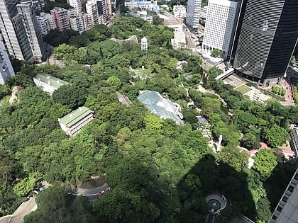
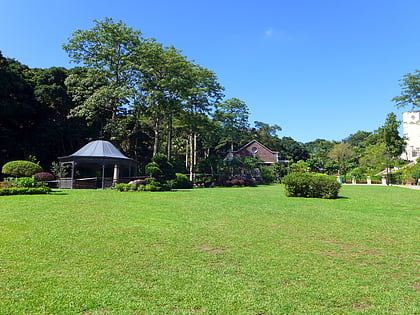
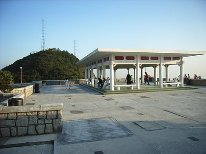
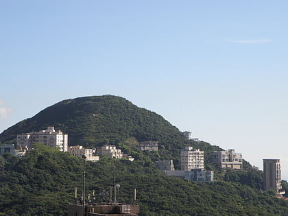
Ho Tung Gardens, Hong Kong
Map
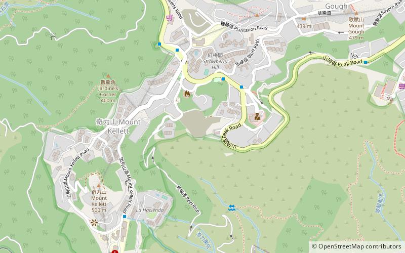
Map

Facts and practical information
Local name: 何東花園 Completed: 1937 (89 years ago)Architectural style: Chinese architectureCoordinates: 22°15'50"N, 114°9'11"E
Address
中西区 (山顶)Hong Kong
ContactAdd
Social media
Add
Day trips
Ho Tung Gardens – popular in the area (distance from the attraction)
Nearby attractions include: Madame Tussauds Hong Kong, Hong Kong Park, Victoria Peak, Hong Kong Zoological and Botanical Gardens.
Frequently Asked Questions (FAQ)
Which popular attractions are close to Ho Tung Gardens?
Nearby attractions include Peak Church, Hong Kong (4 min walk), Mount Kellett, Hong Kong (9 min walk), Hong Kong Trams Station, Hong Kong (13 min walk), Mount Gough, Hong Kong (13 min walk).
How to get to Ho Tung Gardens by public transport?
The nearest stations to Ho Tung Gardens:
Bus
Train
Tram
Metro
Bus
- The Peak Police Station • Lines: 15 (4 min walk)
- Mount Kellett Road • Lines: 15 (6 min walk)
Train
- Barker Road (13 min walk)
- The Peak (14 min walk)
Tram
- Murray Road • Lines: 上環 (西港城) → 筲箕灣 Western Market →, 堅尼地城 → 筲箕灣 Kennedy Town → Shau K, 堅尼地城 → 跑馬地 Kennedy Town → Happy, 石塘咀 → 北角 Shek Tong Tsui → North, 石塘咀 → 銅鑼灣 Shek Tong Tsui → Cause (32 min walk)
- Cotton Tree Drive • Lines: 北角 → 石塘咀 North Point → Shek Tong, 筲箕灣 → 上環 (西港城) Shau Kei Wan → We, 筲箕灣 → 堅尼地城 Shau Kei Wan → Kenned, 跑馬地 → 堅尼地城 Happy Valley → Kenned, 銅鑼灣 → 石塘咀 Causeway Bay → Shek To (32 min walk)
Metro
- Admiralty • Lines: Isl, Sil, Twl (34 min walk)
- Wong Chuk Hang • Lines: Sil (37 min walk)
 MTR
MTR LTR
LTR Tram
Tram
