Jardine's Lookout, Hong Kong

Gallery (2)
Map


Map
Gallery
Facts and practical information
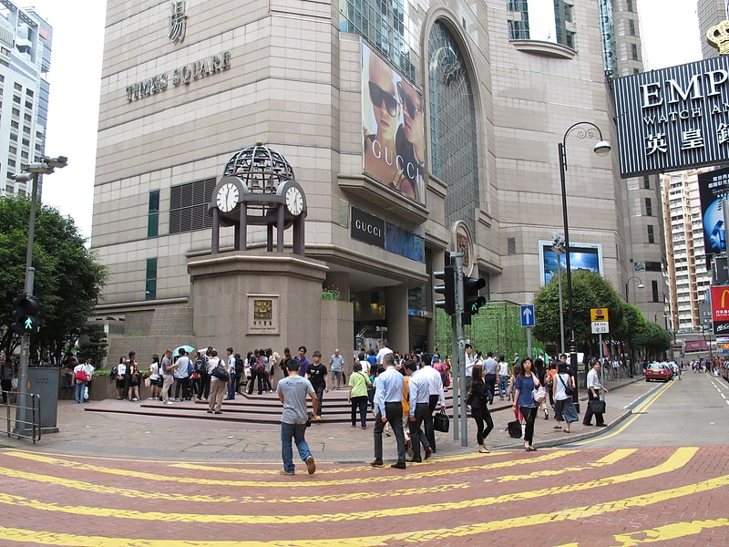
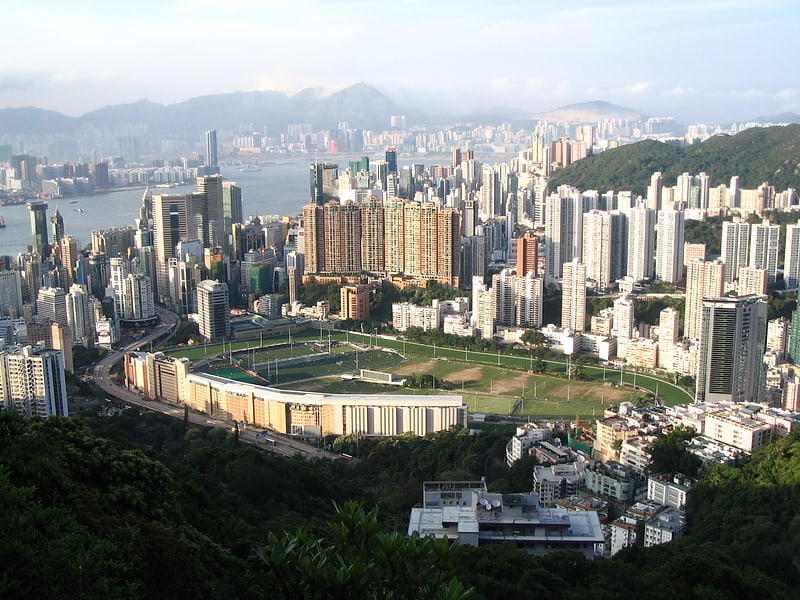
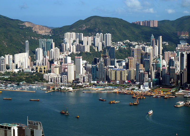
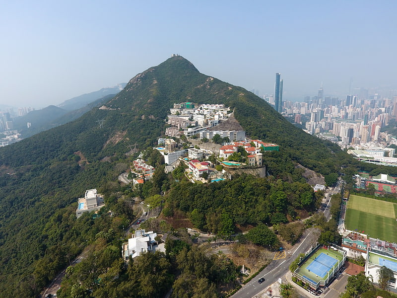
Jardine's Lookout is a mountain and a residential area on the Hong Kong Island in Hong Kong. It is located on the south of Happy Valley, east of Causeway Bay, and west of Mid-Levels East, at an altitude of approximately 433 metres. Nearby hills include Mount Nicholson, Violet Hill and Mount Butler. Administratively, it is part of Wan Chai District. It is also on north of Deep Water Bay and Black’s Link and Hong Kong Parkview. ()
Address
湾仔区 (渣甸山)Hong Kong
ContactAdd
Social media
Add
Getting there by public transportation
Public transportation stops near this location
- Metro
- Bus
- Tram
- Train
- Ferry
 Metro
Metro
- Calculate routeBroadwood Road 4 min walk
- Calculate routeJardine's Lookout Garden Mansion 4 min walk
- Calculate routeMount Butler Road 5 min walk
- Calculate routePerkins Road 5 min walk
- Calculate routeHappy Valley Terminus 13 min walk
- Calculate routeWong Nai Chung Road 15 min walk
- Calculate routeBroadwood Road 17 min walk
- Calculate routeCauseway Bay Terminus 21 min walk
- Calculate routeHappy Valley Terminus 13 min walk
- Calculate routeCauseway Bay 25 min walk
- Calculate routeTin Hau 25 min walk
- Calculate routeWan Chai Ferry Pier 38 min walk
Maps MTRMaps
 LTRMaps
 Tram
Tram
MTRMapsLTRMapsTramDay trips


Frequently Asked Questions (FAQ)
Which popular attractions are close to Jardine's Lookout?
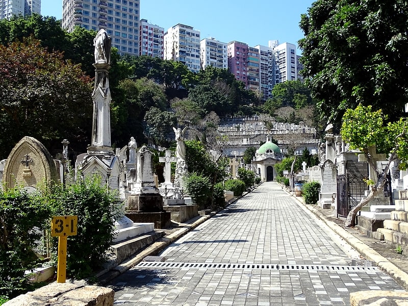
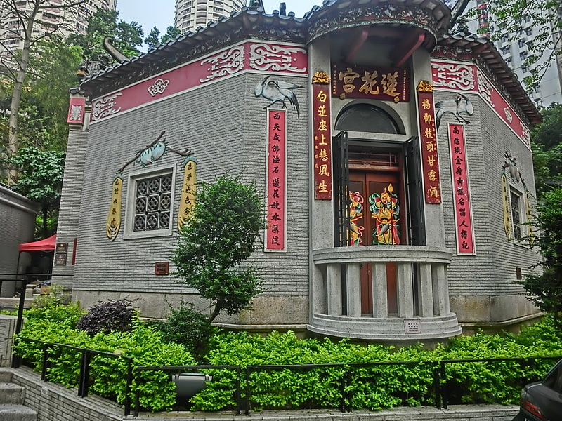
Nearby attractions include The Race Course Fire Memorial, Hong Kong (9 min walk), Happy Valley Jewish Cemetery, Hong Kong (11 min walk), Tung Lin Kok Yuen, Hong Kong (11 min walk), Hong Kong Island, Hong Kong (11 min walk).
How to get to Jardine's Lookout by public transport?
The nearest stations to Jardine's Lookout:
Bus
Tram
Train
Metro
Ferry
Bus
- Broadwood Road • Lines: 63 (4 min walk)
- Jardine's Lookout Garden Mansion • Lines: 63 (4 min walk)
Tram
- Happy Valley Terminus • Lines: 堅尼地城 → 跑馬地 Kennedy Town → Happy, 筲箕灣 → 跑馬地 Shau Kei Wan → Happy V, 跑馬地 → 堅尼地城 Happy Valley → Kenned, 跑馬地 → 筲箕灣 Happy Valley → Shau Ke (13 min walk)
- Wong Nai Chung Road • Lines: 堅尼地城 → 跑馬地 Kennedy Town → Happy, 筲箕灣 → 跑馬地 Shau Kei Wan → Happy V (15 min walk)
Train
- Happy Valley Terminus (13 min walk)
Metro
- Causeway Bay • Lines: Isl (25 min walk)
- Tin Hau • Lines: Isl (25 min walk)
Ferry
- Wan Chai Ferry Pier (38 min walk)