Pak Sha Chau, Hong Kong
Map
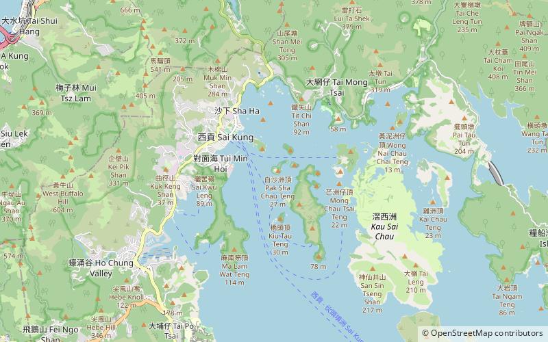
Map

Facts and practical information
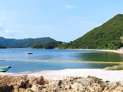
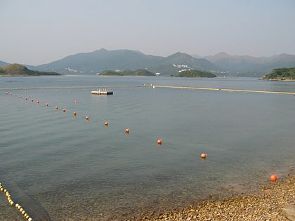
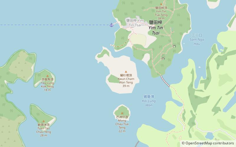
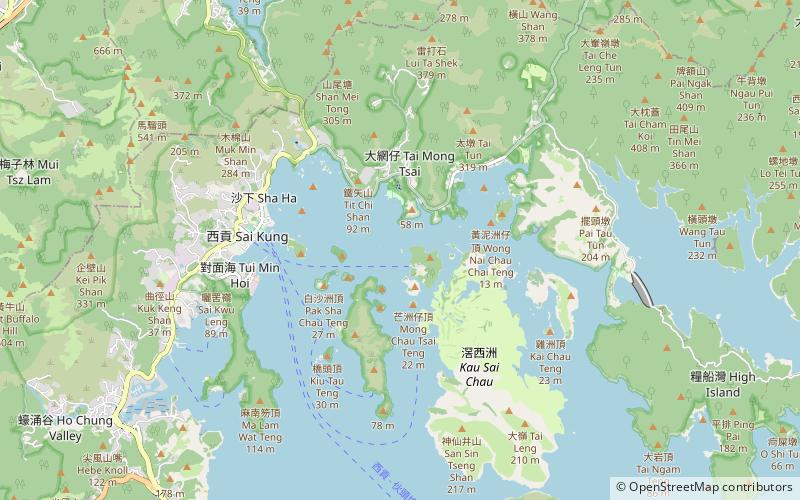
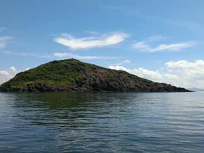
Round Island or Pak Sha Chau is an uninhabited island of Hong Kong. Administratively, it is part of the North District. ()
Coordinates: 22°22'27"N, 114°17'6"E
Address
Hong Kong
ContactAdd
Social media
Add
Day trips
Pak Sha Chau – popular in the area (distance from the attraction)
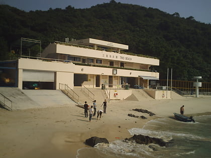
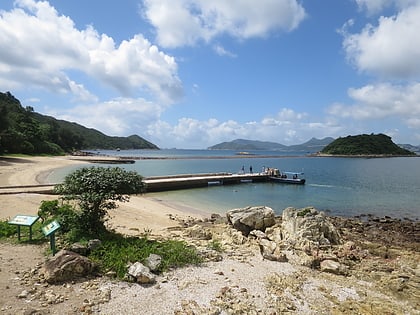
Nearby attractions include: Kiu Tsui Country Park, Trio Beach, Sharp Island, Yim Tin Tsai.
Frequently Asked Questions (FAQ)
How to get to Pak Sha Chau by public transport?
The nearest stations to Pak Sha Chau:
Bus
Ferry
Bus
- Tui Min Hoi • Lines: 4, 4A (23 min walk)
- Sai Kung Pier • Lines: 1 (23 min walk)
Ferry
- Sai Kung Public Pier • Lines: 伙頭墳洲→西貢 Town Island→Sai Kung, 西貢→伙頭墳洲 Sai Kung→Town Island (20 min walk)
 MTR
MTR LTR
LTR Tram
Tram