Sha Tin, Hong Kong
Map
Gallery
Facts and practical information
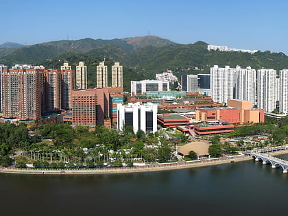
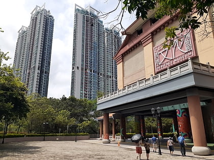
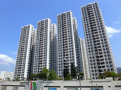
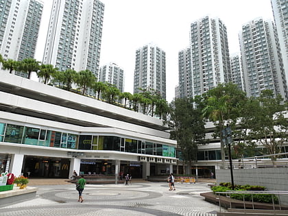
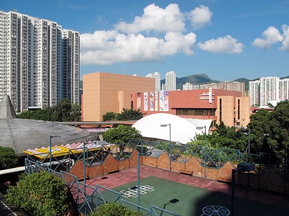
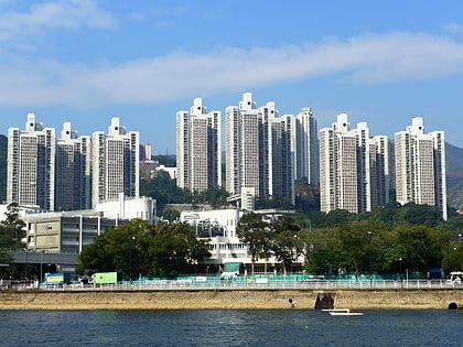
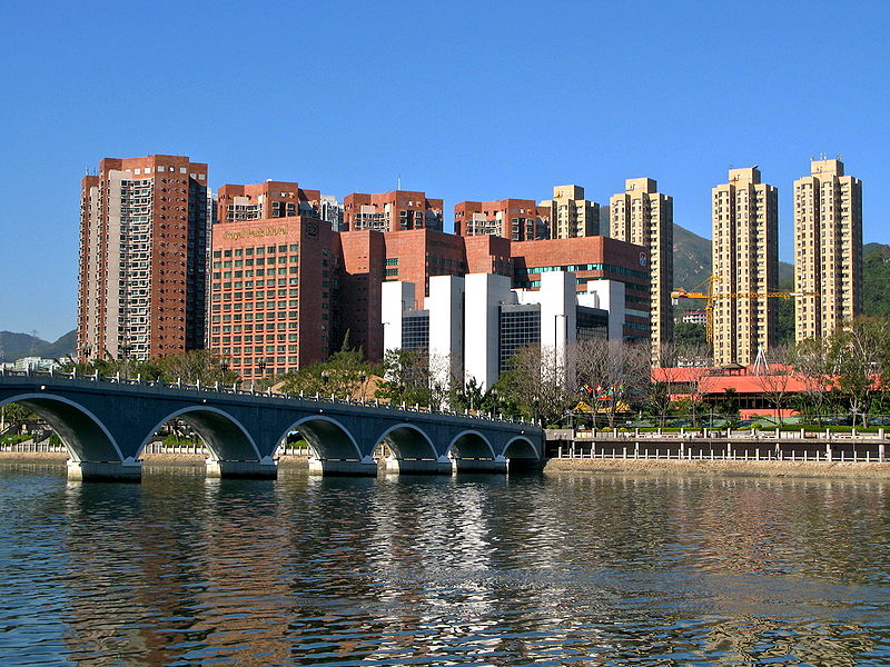
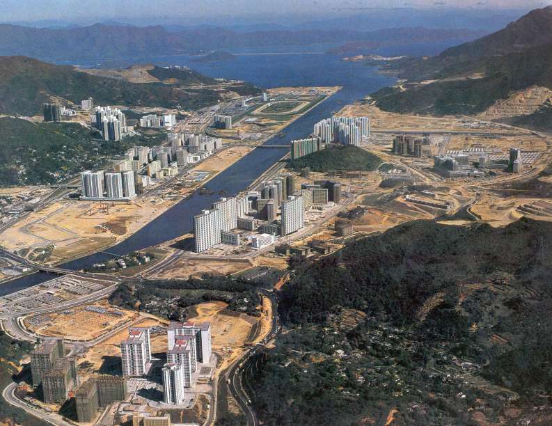
Sha Tin, also spelt Shatin, is a neighbourhood along Shing Mun River in the eastern New Territories, Hong Kong. Administratively, it is part of the Sha Tin District. Sha Tin is one of the neighbourhoods of the Sha Tin New Town project. ()
Address
沙田区 (沙田)Hong Kong
ContactAdd
Social media
Add
Day trips
Sha Tin – popular in the area (distance from the attraction)
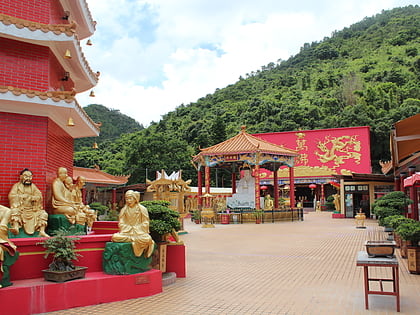
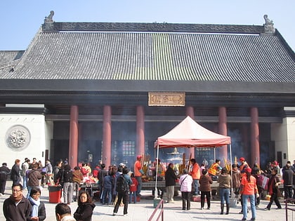
Nearby attractions include: New Town Plaza, HomeSquare, Ten Thousand Buddhas Monastery, Citylink Plaza.
Frequently Asked Questions (FAQ)
Which popular attractions are close to Sha Tin?
Nearby attractions include Sha Tin Park, Hong Kong (2 min walk), Sha Tin Public Library, Hong Kong (2 min walk), Lek Yuen Bridge, Hong Kong (3 min walk), Sha Tin Town Hall, Hong Kong (3 min walk).
How to get to Sha Tin by public transport?
The nearest stations to Sha Tin:
Bus
Metro
Bus
- Royal Park Hotel • Lines: 282, 283, 288, 989, A41 (3 min walk)
- Sha Tin Town Hall • Lines: 288, 989 (4 min walk)
Metro
- Sha Tin • Lines: Eal (7 min walk)
- Sha Tin Wai • Lines: Tml (10 min walk)




 MTR
MTR LTR
LTR Tram
Tram