Wuhou, Chengdu
Map

Map

Facts and practical information
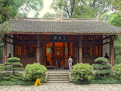
Wuhou District is one of 12 urban districts of the prefecture-level city of Chengdu, the capital of Sichuan Province, Southwest China. It contains the historic site, Wuhou Temple and Jinli Street. The district is bordered by Jinjiang District to the east, Shuangliu County to the south and west, and Qingyang District to the north. ()
Address
Chengdu
ContactAdd
Social media
Add
Day trips
Wuhou – popular in the area (distance from the attraction)
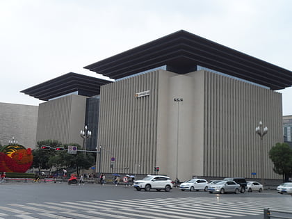
Nearby attractions include: Du Fu Thatched Cottage, Chengdu Huangcheng Mosque, Sichuan Provincial Library, People's Park.
Frequently Asked Questions (FAQ)
How to get to Wuhou by public transport?
The nearest stations to Wuhou:
Metro
Bus
Metro
- Gaoshengqiao • Lines: 3, 5 (4 min walk)
- Provincial Orthopaedics Hospital • Lines: 5 (18 min walk)
Bus
- 红牌楼东站 • Lines: K1, K11, K11A, K13, K13A, K2 (21 min walk)
- 百花公交中心站 (22 min walk)


