Changchun University of Science and Technology, Changchun
Map
Facts and practical information
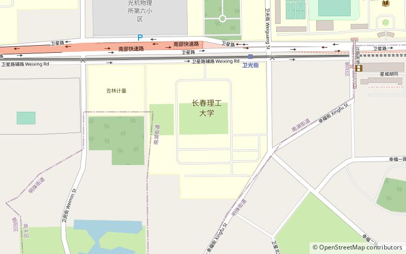
Changchun University of Science and Technology is a key university in Changchun, Jilin, China, previously known as Changchun Institute of Optics and Fine Mechanics. It was founded by Wang Daheng in 1958. ()
Getting there by public transportation
Public transportation stops near this location
- Metro
- Light rail
 Metro
Metro
- Calculate routeWeiguang Street 5 min walk
- Calculate routeWeixing Square 13 min walk
- Calculate routeWeiming Street 15 min walk
- Calculate routeQianjin Street 26 min walk
- Calculate routeWeixing Square 17 min walk
- Calculate routeFanrong Road 24 min walk
- Calculate routeMunicipal Government 26 min walk
Day trips
Changchun University of Science and Technology – popular in the area (distance from the attraction)
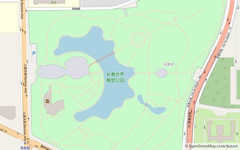
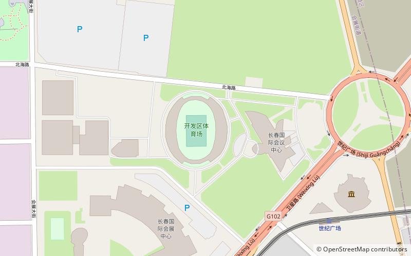
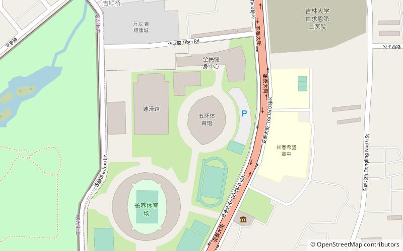
Nearby attractions include: Museum of the Imperial Palace of the Manchu State, Changchun World Sculpture Park, Changchun Stadium, Banruo Temple.


Frequently Asked Questions (FAQ)
How to get to Changchun University of Science and Technology by public transport?
The nearest stations to Changchun University of Science and Technology:
Light rail
Metro
Light rail
- Weiguang Street • Lines: 3 (5 min walk)
- Weixing Square • Lines: 3 (13 min walk)
Metro
- Weixing Square • Lines: 1 (17 min walk)
- Fanrong Road • Lines: 1 (24 min walk)