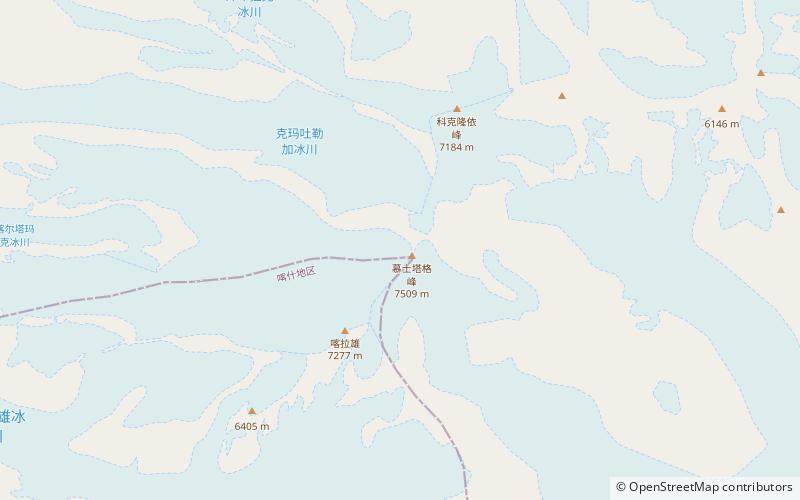
Muztagh Ata
Map

Map

Facts and practical information
Muztagh Ata or Muztagata, is the second highest of the mountains which form the northern edge of the Tibetan Plateau. It is sometimes regarded as being part of the Kunlun Mountains, although physically it is more closely connected to the Pamirs. It is also one of the relatively easier 7,000 m peaks in the world to climb, due to its gentle western slope and the comparatively drier weather of Xinjiang, though a thorough acclimatization period and a very strong physical condition are crucial for success. ()
Local name: 慕士塔格峰 First ascent: 1956Elevation: 24636 ftProminence: 8852 ftCoordinates: 38°16'36"N, 75°6'50"E
Location
Xinjiang Uygur
ContactAdd
Social media
Add
