Zhoushan Island
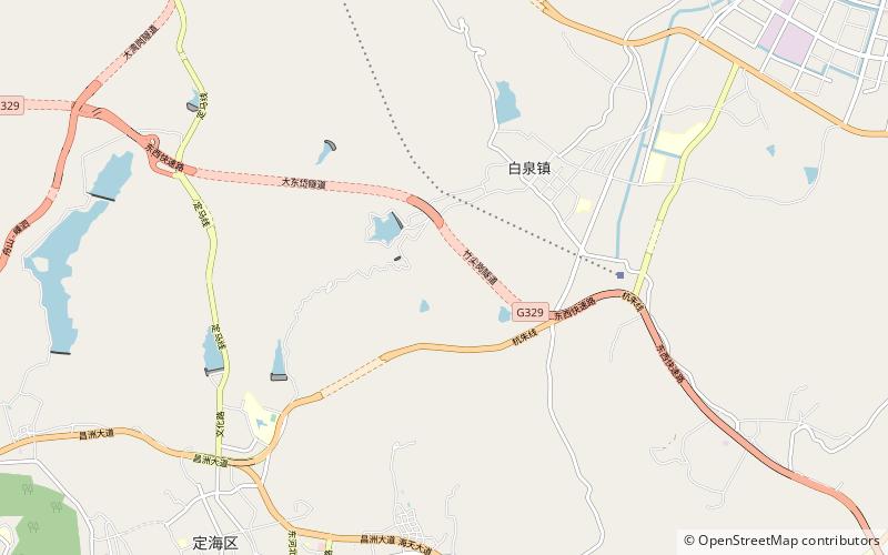
Map

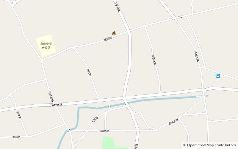
Map

Facts and practical information
Zhoushan Island is the principal and namesake island in the Zhoushan Islands, formerly romanized as the Chusan Islands, an archipelago administered by Zhoushan Prefecture in Zhejiang Province in the People's Republic of China. It is the province's largest island and 3rd-largest in mainland China after Hainan and Chongming. The island is the district seats of both Dinghai and Putuo. The island was the site of the first and second capture of Chusan during the First Opium War. ()
Local name: 舟山岛 Area: 194.07 mi²Maximum elevation: 1652 ftArchipelago: Zhoushan IslandsCoordinates: 30°3'25"N, 122°8'17"E
Location
Zhejiang
ContactAdd
Social media
Add
Day trips
Zhoushan Island – popular in the area (distance from the attraction)
Nearby attractions include: Dinghai District, Jiefang Subdistrict.


