Nanchang District, Wuxi
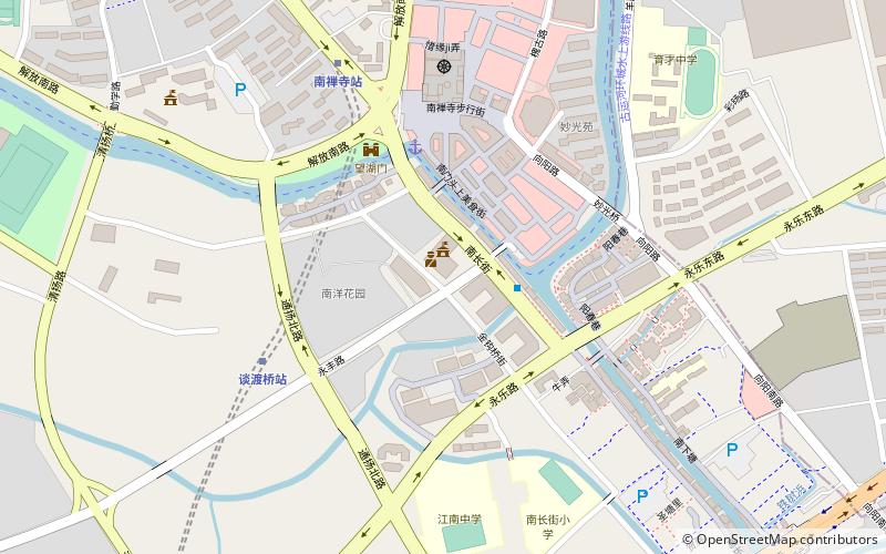
Map
Facts and practical information
Nanchang District is one of six urban districts of Wuxi, Jiangsu province, China. ()
Address
Wuxi
ContactAdd
Social media
Add
Getting there by public transportation
Public transportation stops near this location
- Metro
 Metro
Metro
- Calculate routeTanduqiao 6 min walk
- Calculate routeNanchan Temple 7 min walk
- Calculate routeTaihu Square 16 min walk
- Calculate routeSanyang Plaza 26 min walk
Day trips


Frequently Asked Questions (FAQ)
How to get to Nanchang District by public transport?
The nearest stations to Nanchang District:
Metro
Metro
- Tanduqiao • Lines: 1 (6 min walk)
- Nanchan Temple • Lines: 1 (7 min walk)