Jelep La
Map

Map

Facts and practical information
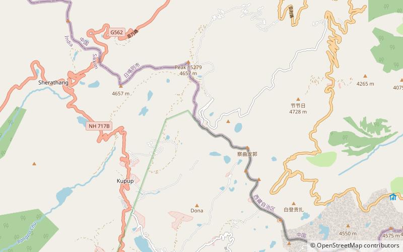
Jelep La elevation 14,390 feet, is a high mountain pass between East Sikkim District, Sikkim, India and Tibet Autonomous Region, China. It is on a route that connects Lhasa to India. The pass is about 4 km south of Nathu La and is slightly higher. It was frequently used for trade between Tibet and India during the British Raj, with Kalimpong serving as the contact point. The Menmecho Lake lies below the Jelep La. ()
Location
Tibet
ContactAdd
Social media
Add
