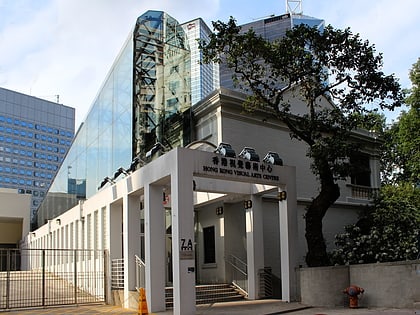
Cheung Kong Park, Hong Kong
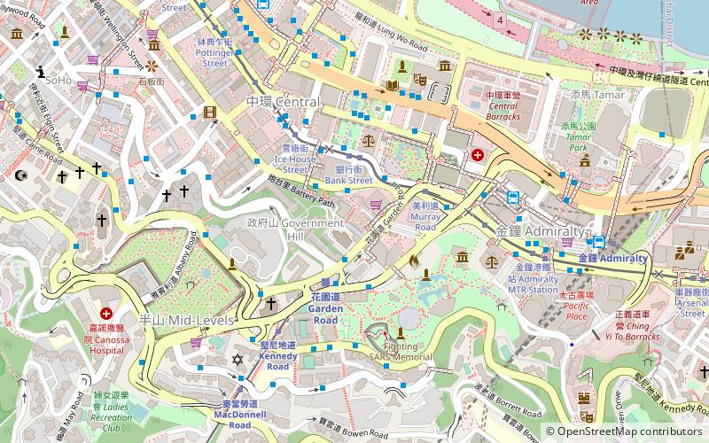
Map
Map

Facts and practical information
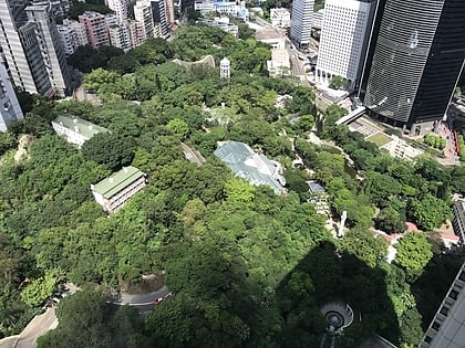
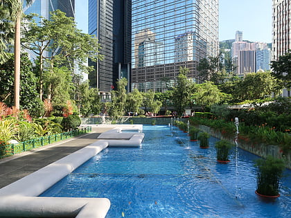
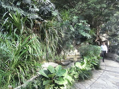
Cheung Kong Park is a small garden located in the Central district of Hong Kong Island and named for Li Ka Shing's corporate empire. The park is privately maintained by Cheung Kong Holdings, but is open to the public. The park consists of ponds and cascades with benches for visitors to enjoy the scenery. ()
Elevation: 125 ft a.s.l.Coordinates: 22°16'45"N, 114°9'36"E
Address
中西区 (湾仔)Hong Kong
ContactAdd
Social media
Add
Day trips
Cheung Kong Park – popular in the area (distance from the attraction)
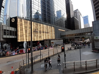
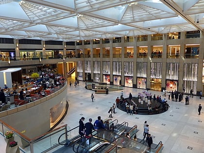
Nearby attractions include: Hong Kong Park, Flagstaff House, Chater House, The Landmark.
Frequently Asked Questions (FAQ)
Which popular attractions are close to Cheung Kong Park?
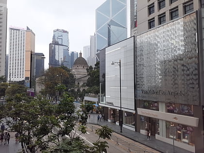
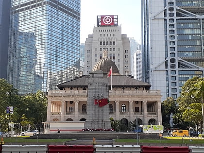
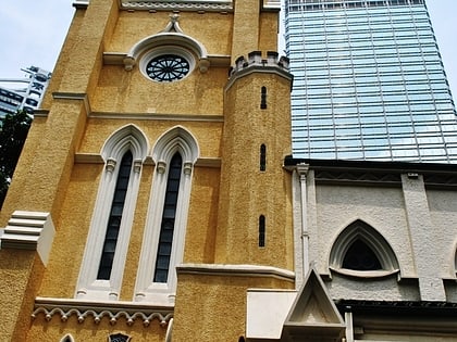
Nearby attractions include Cheung Kong Center, Hong Kong (1 min walk), Former French Mission Building, Hong Kong (1 min walk), HSBC Building, Hong Kong (2 min walk), St John's Cathedral, Hong Kong (2 min walk).
How to get to Cheung Kong Park by public transport?
The nearest stations to Cheung Kong Park:
Bus
Tram
Train
Metro
Ferry
Bus
- Cheung Kong Center • Lines: 6, 66, 6A, 6X (2 min walk)
- St. John's Cathedral • Lines: 10, 12A, 22, 28, 31, 40, 40M (2 min walk)
Tram
- Bank Street • Lines: 北角 → 石塘咀 North Point → Shek Tong, 筲箕灣 → 上環 (西港城) Shau Kei Wan → We, 筲箕灣 → 堅尼地城 Shau Kei Wan → Kenned, 跑馬地 → 堅尼地城 Happy Valley → Kenned, 銅鑼灣 → 石塘咀 Causeway Bay → Shek To (3 min walk)
- Murray Road • Lines: 上環 (西港城) → 筲箕灣 Western Market →, 堅尼地城 → 筲箕灣 Kennedy Town → Shau K, 堅尼地城 → 跑馬地 Kennedy Town → Happy, 石塘咀 → 北角 Shek Tong Tsui → North, 石塘咀 → 銅鑼灣 Shek Tong Tsui → Cause (4 min walk)
Train
- Garden Road (3 min walk)
- Kennedy Road (6 min walk)
Metro
- Central • Lines: Isl, Twl (6 min walk)
- Admiralty • Lines: Isl, Sil, Twl (10 min walk)
Ferry
- Central Pier 5 • Lines: Cheung Chau - Central (16 min walk)
- Wan Chai Ferry Pier (28 min walk)
 MTR
MTR LTR
LTR Tram
Tram