Sau Mau Ping Memorial Park, Hong Kong
Map
Map

Facts and practical information
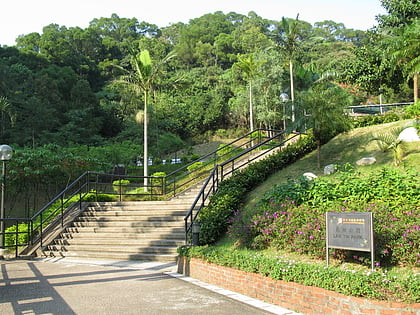
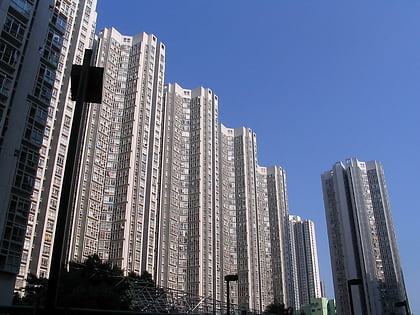
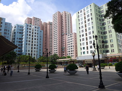
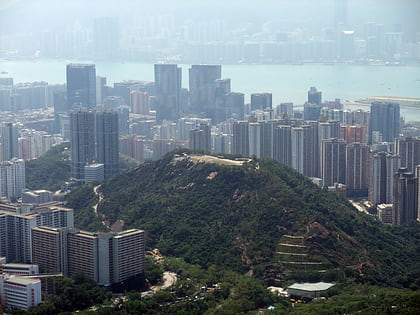
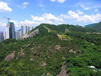
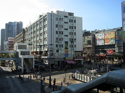
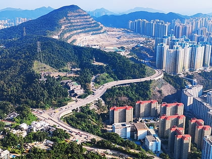
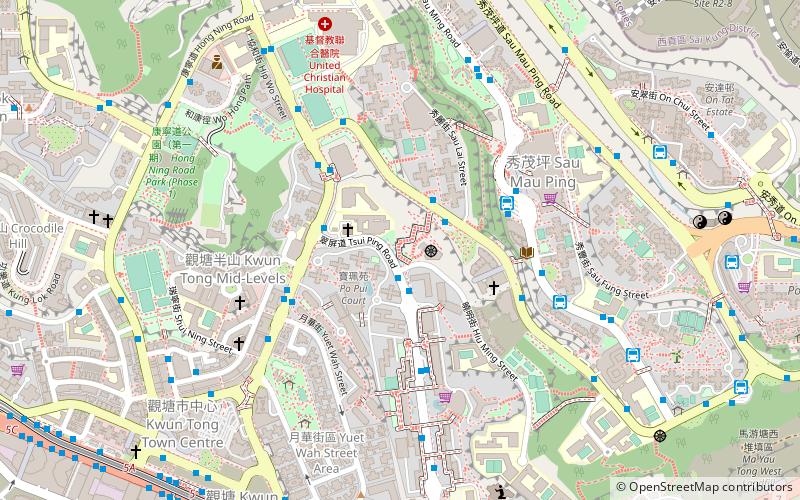
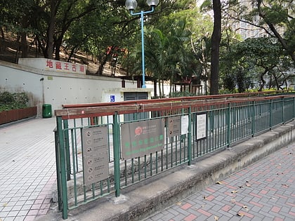
Sau Mau Ping Memorial Park is a park located in Sau Mau Ping, Kwun Tong District, Kowloon, Hong Kong. The park was built on the hillside between Tsui Ping Road, Hiu Kwong Street and Hiu Ming Street, in memorial to the deceased of the disastrous flooding on 18 June 1972, which took 71 lives when the hill slope adjacent to the park failed. ()
Day trips
Sau Mau Ping Memorial Park – popular in the area (distance from the attraction)
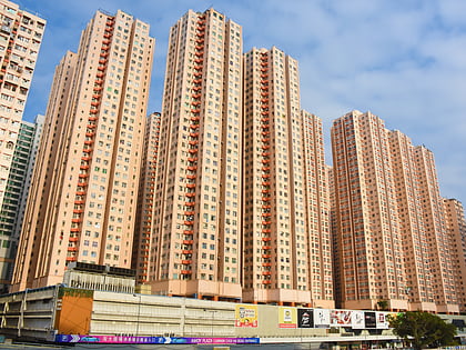
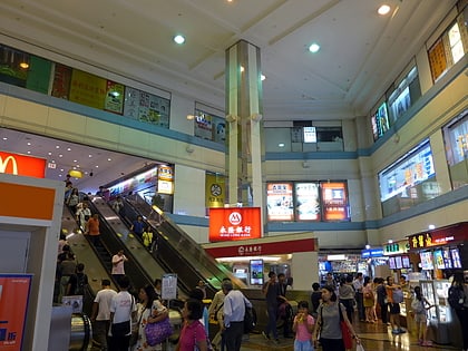
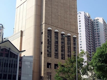
Nearby attractions include: Amoy Gardens, Apm, Sceneway Plaza, Lam Tin Park.
Frequently Asked Questions (FAQ)
Which popular attractions are close to Sau Mau Ping Memorial Park?
Nearby attractions include Sau Mau Ping, Hong Kong (6 min walk), Hong Ning Road Park, Hong Kong (9 min walk), Government Records Service, Hong Kong (10 min walk), Yue Man Square, Hong Kong (10 min walk).
How to get to Sau Mau Ping Memorial Park by public transport?
The nearest stations to Sau Mau Ping Memorial Park:
Bus
Metro
Ferry
Bus
- Po Pui Court • Lines: 13M (2 min walk)
- Hiu Lai Court • Lines: 13M (2 min walk)
Metro
- Kwun Tong • Lines: Ktl (12 min walk)
- Ngau Tau Kok • Lines: Ktl (17 min walk)
Ferry
- Kwun Tong Ferry Pier (25 min walk)
 MTR
MTR LTR
LTR Tram
Tram