Tate's Cairn Highway, Hong Kong

Gallery (1)
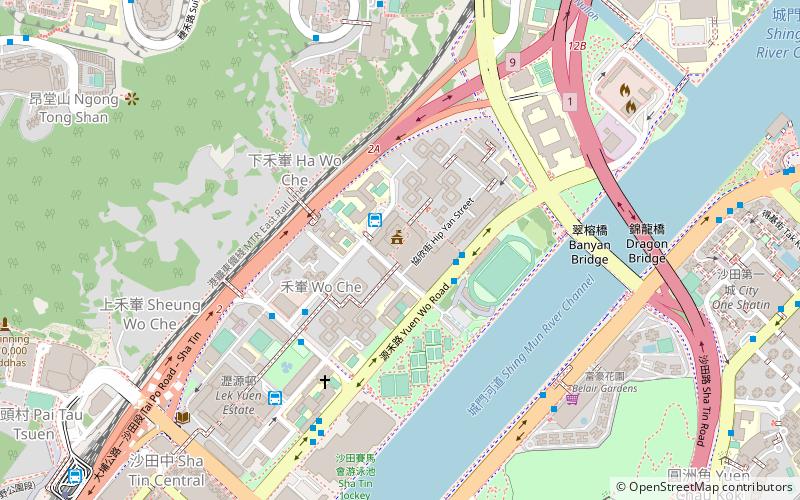
Map
Map
Facts and practical information
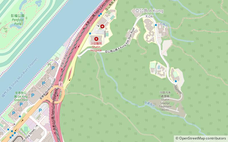
Tate's Cairn Highway, opened on 26 June 1991, is a dual 3-lane expressway in Hong Kong. It links Tate's Cairn Tunnel and Ma Liu Shui Interchange, forming a part of Route 2. ()
Address
沙田区 (赛马会)Hong Kong
ContactAdd
Social media
Add
Getting there by public transportation
Public transportation stops near this location
- Metro
- Bus
 Metro
Metro
- Calculate routeShatin Hospital 7 min walk
- Calculate routeA Kung Kok 12 min walk
- Calculate routeGarden Vista 13 min walk
- Calculate routeHeung Yee Kuk New Territories Building 15 min walk
- Calculate routeShek Mun 17 min walk
- Calculate routeRacecourse 20 min walk
- Calculate routeFo Tan 26 min walk
- Calculate routeTai Shui Hang 27 min walk
Maps MTRMaps
 LTRMaps
 Tram
Tram
MTRMapsLTRMapsTramDay trips


Frequently Asked Questions (FAQ)
Which popular attractions are close to Tate's Cairn Highway?
Nearby attractions include Sha Tin Racecourse, Hong Kong (13 min walk), Penfold Park, Hong Kong (14 min walk).
How to get to Tate's Cairn Highway by public transport?
The nearest stations to Tate's Cairn Highway:
Bus
Metro
Bus
- Shatin Hospital • Lines: 299X (7 min walk)
- A Kung Kok • Lines: 299X (12 min walk)
Metro
- Shek Mun • Lines: Tml (17 min walk)
- Racecourse • Lines: Eal (20 min walk)