Hongkou District, Shanghai
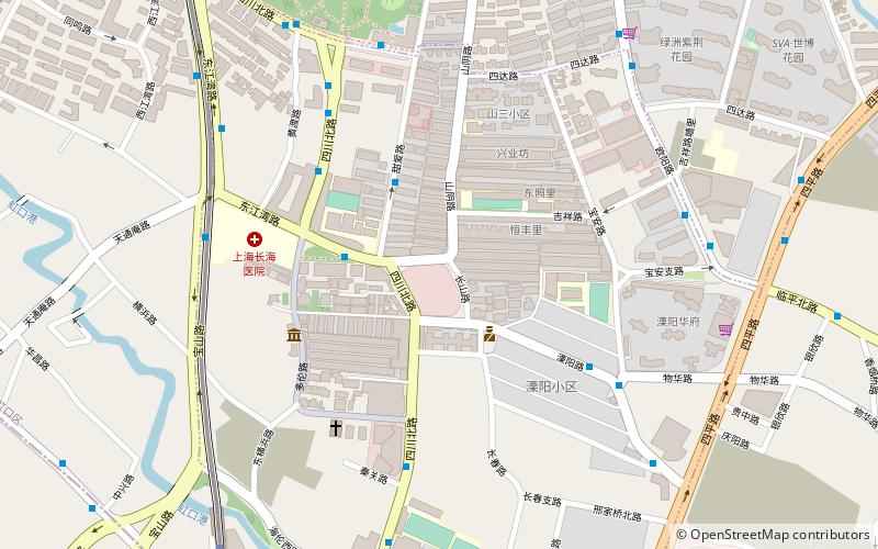
Map
Map

Facts and practical information
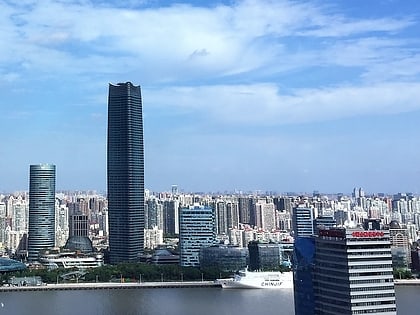
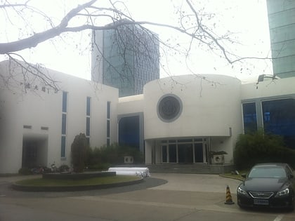
Hongkou, formerly spelled Hongkew, is a district of Shanghai, forming part of the northern urban core. It has a land area of 23.48 km2 and a population of 852,476 as of 2010. ()
Address
虹口 (区建设)Shanghai
ContactAdd
Social media
Add
Day trips
Hongkou District – popular in the area (distance from the attraction)
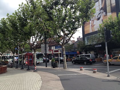
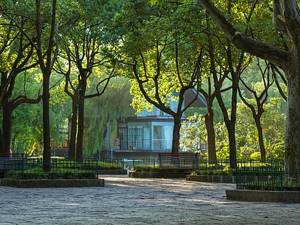
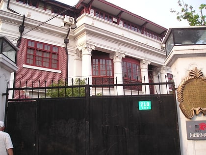
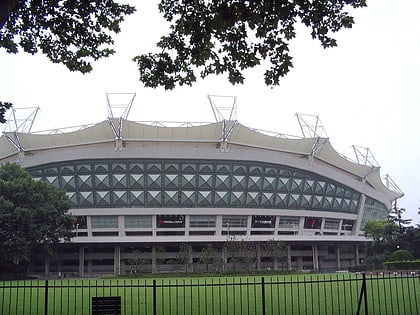
Nearby attractions include: North Sichuan Road, Lu Xun Park, Duolun Road, Tongji University.
Frequently Asked Questions (FAQ)
Which popular attractions are close to Hongkou District?
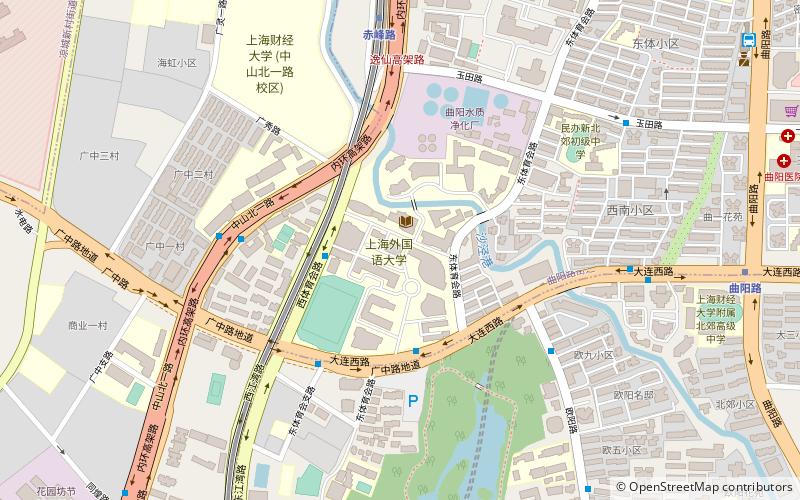
Nearby attractions include Duolun Road, Shanghai (5 min walk), Lu Xun Park, Shanghai (12 min walk), North Sichuan Road, Shanghai (16 min walk), Shanghai International Studies University, Shanghai (23 min walk).
How to get to Hongkou District by public transport?
The nearest stations to Hongkou District:
Metro
Bus
Metro
- Dongbaoxing Road • Lines: 3 (11 min walk)
- Hailun Road • Lines: 10, 4 (12 min walk)
Bus
- Wusong Road Haining Road • Lines: 123 (24 min walk)
- Siping Road Dalian Road • Lines: 123 (31 min walk)
