Ham Tin Wan, Hong Kong
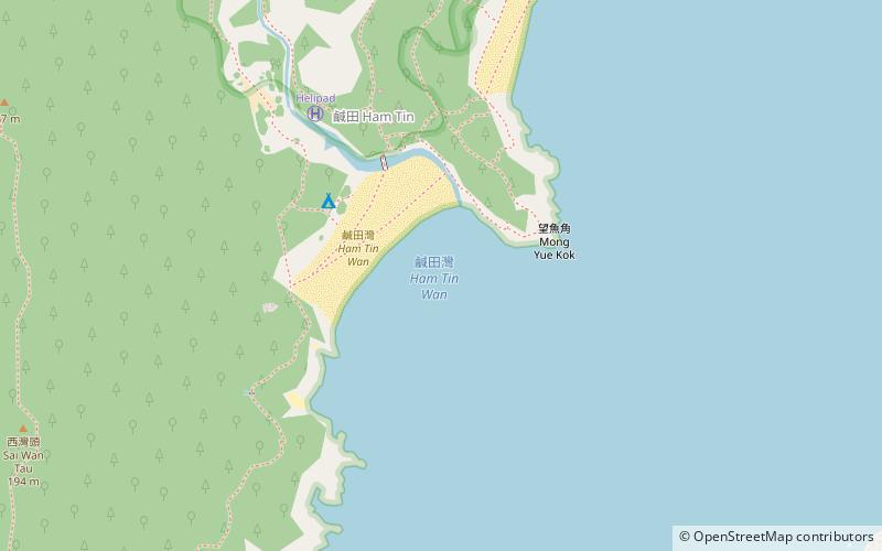
Map
Facts and practical information
Ham Tin Wan (address: Ham Tin Wan) is a place located in Hong Kong (Sai Kung district) and belongs to the category of beach.
It is situated at an altitude of 0 feet, and its geographical coordinates are 22°24'31"N latitude and 114°22'37"E longitude.
Planning a visit to this place, one can easily and conveniently get there by public transportation. Ham Tin Wan is a short distance from the following public transport stations: Sai Wan Pavilion (bus, 37 min walk).
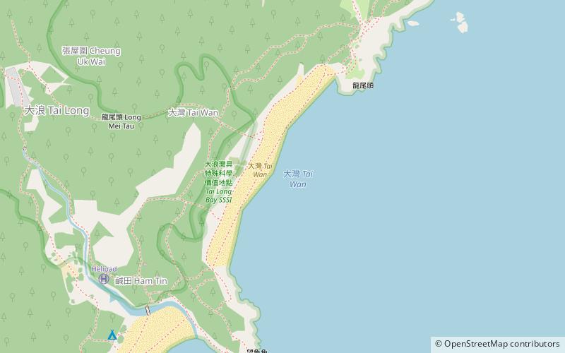
Among other places and attractions worth visiting in the area are: Tai Wan (beach, 12 min walk), Tai Long Sai Wan (beach, 19 min walk), Tai Mun Shan (nature, 23 min walk).
Coordinates: 22°24'31"N, 114°22'37"E
Getting there by public transportation
Public transportation stops near this location
- Bus
 Bus
Bus
- Calculate routeSai Wan Pavilion 37 min walk
Maps MTRMaps
 LTRMaps
 Tram
Tram
MTRMapsLTRMapsTramDay trips


Frequently Asked Questions (FAQ)
Which popular attractions are close to Ham Tin Wan?
Nearby attractions include Tai Wan, Hong Kong (12 min walk), Tai Long Sai Wan, Hong Kong (19 min walk), Tai Mun Shan, Hong Kong (23 min walk).
How to get to Ham Tin Wan by public transport?
The nearest stations to Ham Tin Wan:
Bus
Bus
- Sai Wan Pavilion • Lines: Nr29 (37 min walk)