Luoyang Institute of Science and Technology, Luoyang
Facts and practical information
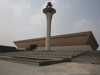
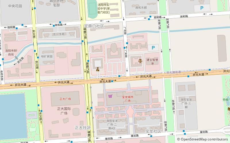
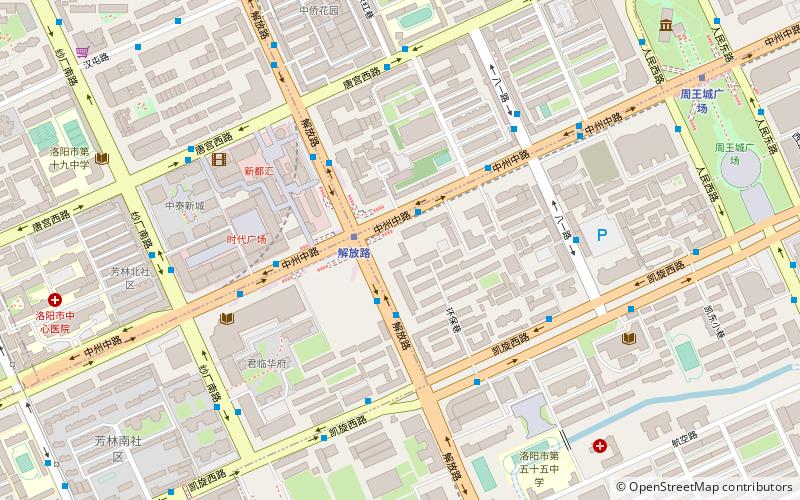
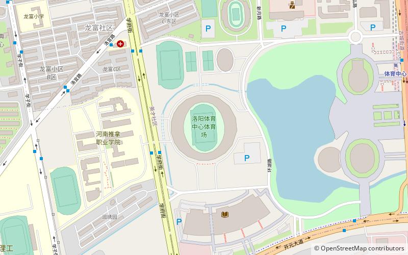
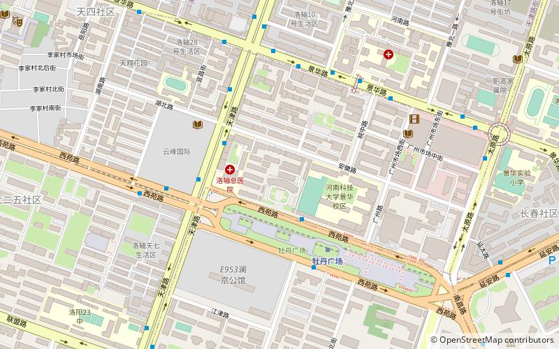
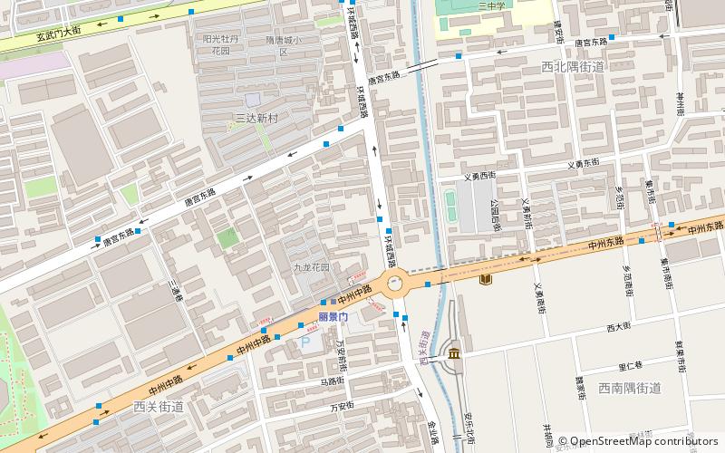
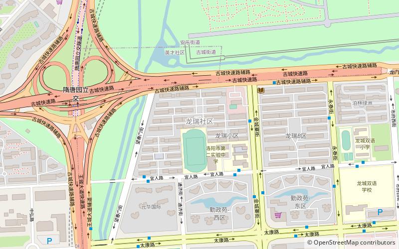
Luoyang Institute of Science and Technology is an educational institute in the Chinese city of Luoyang. It has three campuses: Wangcheng, Kaiyuan and Jiudu, covering an area of 2229 acres, contains 17 departments. The school is founded as Sanmenxia Hydroelectric School in 1956, and merged with Luoyang University in 2007. Training bases founded by China Building Materials Federation and China Metallurgical Machine Building Materials Union are located in the school. In 2008, former "No.1 High School Attached to LYC Bearing Co. Ltd" was renamed as Senior High School Affiliated to Luoyang Institute of Science and Technology, which since then as become a subsidiary high school of the institute. ()
Luoyang Institute of Science and Technology – popular in the area (distance from the attraction)
Nearby attractions include: Luoyang Museum, Longmen National Park, Luolong District, Xigong District.
Frequently Asked Questions (FAQ)
How to get to Luoyang Institute of Science and Technology by public transport?
Bus
- 金城寨街古城路口南 • Lines: 75 (4 min walk)
- 宜人路金城寨街口 • Lines: 26, 60 (4 min walk)
Metro
- Sport Center • Lines: 2 (13 min walk)
- Suitangyuan • Lines: 2 (16 min walk)
