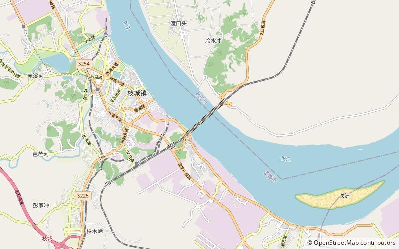
Zhicheng Yangtze River Bridge
Map

Map

Facts and practical information
The Zhicheng Yangtze River Bridge is a road-rail truss bridge across the Yangtze River at Zhicheng, Hubei Province in central China. The bridge is 1,742.3 metres long and carries two tracks of the Jiaozuo–Liuzhou Railway and road traffic. The bridge, built from 1965 to 1971, was the third road-rail crossing on the lower 2,884 km of the Yangtze below Yibin. ()
Local name: 枝城长江大桥 Completed: 1971 (55 years ago)Length: 5716 ftCoordinates: 30°17'10"N, 111°31'34"E
Location
Hubei
ContactAdd
Social media
Add
